
 E-Paper



Heatwave hits Chandigarh tricity area, mercury touches 40°C
Rain relief on cards from today; Monday was season’s first day with heatwave conditions in city; as per IMD records, the maximum temperature has been rising daily and has gone up seven notches in the last eight days.

 Prefer HTon Google


City residents had to sweat it out on Monday as mercury soared to 40°C, 5.6°C above normal, making it the season’s first day with heatwave conditions.
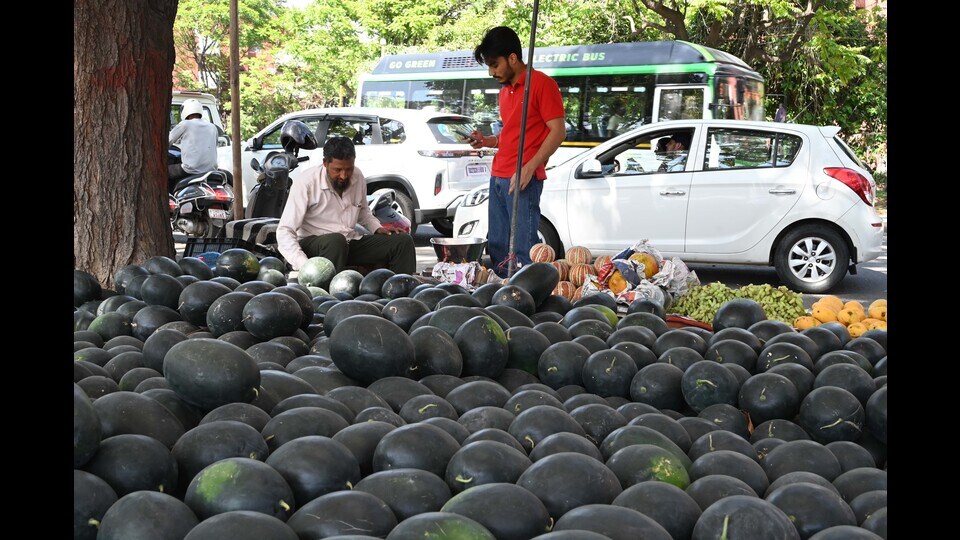
As per the IMD, a heatwave is declared in the plains in this region when the maximum temperature is equal to or greater than 40°C and between 4.5°C to 6.4°C above normal. While the temperature had been above normal a few times before this, the condition that it should be equal or more than 40°C wasn’t met earlier this season.
But residents can expect a relief from Tuesday as there are chances of light rain.
As per IMD records, the maximum temperature has been rising daily and has gone up seven notches in the last eight days.
Speaking about this, IMD Chandigarh director Manmohan Singh said, “Heatwaves start in the region around this time of the year so it isn’t out of the ordinary. We had received some rain a few weeks ago which is why the temperature had been cooler than normal. The temperature rise has been seen in just about a week’s time.”
Singh added that the temperature will start falling from Tuesday and just ae day of heatwave conditions isn’t a cause of concern yet. The temperature is likely to rise even higher later this month, he added.
Last April was warmer
While the rise in temperature has been quick, it’s actually slower than April 2022 when the maximum temperature had touched 40°C on April 10, as compared to a week later on April 17 this year. A severe heat wave was declared in the city that day and the maximum temperature had gone as high as 42.2°C towards the end of the month.
There were nine days with heat wave conditions in April last year. The maximum temperature stayed at 42.2°C consecutively for three days on April 28, 29 and 30. Before March rains cooled down the city, the city saw its warmest February in 13 years and driest in 38 years in 2022.
Rain, thunderstorms, hail expected from today
A fresh western disturbance will start affecting the city from Monday night. IMD has issued a yellow alert for thunderstorms and lightning on Tuesday, Wednesday and Thursday. The second of the four-colour warnings used by IMD, yellow alert asks people to watch and be updated.
There is also a chance of hail in the city on Wednesday and gusty winds between 30-40km/h are also expected throughout this. Singh said, “Light rain is likely on Tuesday while up to moderate rain is expected on Wednesday and Thursday. Because of rain, the day temperature can slip to just over 30°C. While we expect the skies to clear over the weekend, the temperature is likely to shoot back to the forties by next week.”
The minimum temperature also rose from 21.1°C on Sunday to 21.5°C on Monday, the highest it has gone all season and 2.3 degrees above normal. Over the next three days, the maximum temperature will remain between 32°C and 38°C while minimum temperature will remain between 22°C and 23°C.


