
 E-Paper



Himachal sees light rain, snow; wet spell ahead
According to the India Meteorological Department, light to moderate rain and snow is likely at many places over the state on March 30, April 3 and 4, while precipitation is also likely at isolated places on March 31, April 1 and 2

 Prefer HTon Google


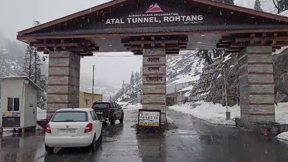
Higher reaches of Himachal Pradesh received light snowfall, while rainfall was recorded in several other parts of the state on Sunday. While 1 cm snowfall was recorded in Koksar, snowfall trace was recorded in Gondhla. Light snowfall was observed near Atal Tunnel.
In terms of rainfall, the highest (15 mm) was recorded in Jot, followed by Kangra (14.5 mm), Bharmaur (8.7 mm), Guler (5.2 mm), Nagrota Suriyan (4.8 mm), Joggindernagar (4 mm), Dehra Gopipur (3.2 mm), Dharmshala (2.1 mm), Kukumseri (1.7 mm), Sujanpur Tira (1.2 mm) and Nahan (1.1 mm).
Due to rain and snowfall, the maximum temperatures witnessed a fall during the last 24 hours. On Sunday, average maximum temperatures were below normal. However, no significant change was observed in minimum temperatures at many stations and they were above normal by 3-5°C at many stations.
According to the India Meteorological Department, light to moderate rain and snow is likely at many places over the state on March 30, April 3 and 4, while precipitation is also likely at isolated places on March 31, April 1 and 2.
The weather office has sounded an orange alert of hailstorm, thunderstorm with lightning. Gusty winds (speed 40-50 kmph gusting up to 60 kmph) in Kullu, Mandi and Shimla districts for March 30, while a yellow alert has been sounded in five other districts.
The minimum temperatures are likely to fall by 2-4°C over the state during the next 48 hours. Thereafter, they are likely to rise by 2-5°C over many parts of the state during subsequent next 2-3 days. Maximum temperatures are expected to fall by 4-7°C over the state during the next 48 hours. Thereafter, they are likely to rise by 4-8°C over many parts of the state during subsequent next 2-3 days.


