
 E-Paper



Kashmir’s higher reaches get season’s first snowfall
Affarwat in Gulmarg and Sinthan Top in Anantnag district get snowfall; weather office forecasts widespread rain and snow in J&K from October 5 to 7.

 Prefer HTon Google


The higher reaches of Kashmir Valley received the season’s first snowfall on Friday, with more expected in the coming days, according to the meteorological department.
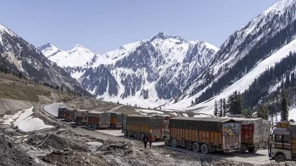
Affarwat in the ski resort of Gulmarg in north Kashmir’s Baramulla district and Sinthan Top in Anantnag district in the south were among the places that received snowfall, officials said.
Some places in the plains, including Srinagar city and its adjoining areas, received light rainfall.
The meteorological department said an active western disturbance is most likely to affect Jammu and Kashmir and adjoining areas from Sunday.
“Under the influence of this system, widespread light to moderate rain/snow (in the higher reaches) are expected in Jammu and Kashmir from October 5 to 7 with peak activity from Sunday night to Tuesday morning,” it said in the advisory.
The system is most likely to cause moderate to heavy snowfall over higher reaches of Anantnag-Pahalgam, Kulgam, Sinthan Pass, Shopian, Pir Ki Gali, Sonamarg-Zojila, Bandipora-Razdan Pass, Gulmarg and Kupwara-Sadhna Pass, it said.
Light snowfall over the middle reaches and moderate to heavy rain over the plains of Kashmir is also likely, according to the advisory.


