
 E-Paper



Delhi enters its second break monsoon phase, no rain likely till Aug 16: IMD
Scientists at the India Meteorological Department (IMD) said from Tuesday afternoon, the break monsoon conditions set in over Delhi, Punjab, Haryana, south-west Uttar Pradesh, west Madhya Pradesh and Rajasthan, as winds blowing over the region changed course from the humid easterlies to the dry westerlies.

 Prefer HTon Google


On Tuesday, Delhi and parts of the National Capital Region (NCR) entered the “break monsoon” phase, which will result in a dry spell till at least August 16. This, according to weather forecasters, will also lead to a rise in temperature in the coming days.
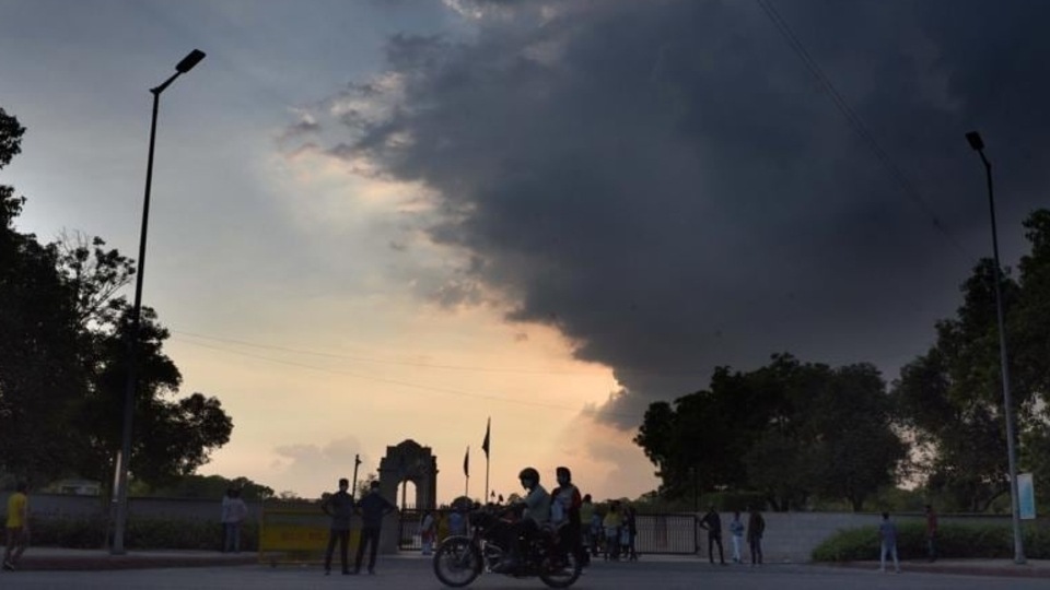
Scientists at the India Meteorological Department (IMD) said from Tuesday afternoon, the break monsoon conditions set in over Delhi, Punjab, Haryana, south-west Uttar Pradesh, west Madhya Pradesh and Rajasthan, as winds blowing over the region changed course from the humid easterlies to the dry westerlies. Such conditions are likely to continue till at least August 16, forecasters said.
“The monsoon trough has moved north, towards the Himalayan foothills. During this period, parts of north-west and central India will mostly remain dry, till the trough starts moving south again,” said Kuldeep Srivastava, head of IMD’s regional weather forecasting centre.
According to weather experts, a break monsoon is a phase of the south-west monsoon, when there is a stoppage in the monsoon rain. This pause could last a couple of days or even extend for a fortnight.
The break monsoon phase is characterised by a northwards shift of the monsoon trough, closer to the foothills of the Himalayas, leading to a decrease in rainfall in many parts of the country. While rainfall decreases in parts of north, north-west and central India, this phenomenon also results in increased rainfall along the Himalayan foothills, in north-east India and also the southern peninsula.
Weather experts said while break monsoon conditions are common in north-west India in July and August, what is rare this time is the fact that this is the second break monsoon phase in Delhi. The first one hit the national capital even before the onset of monsoon this year.
“Break monsoon conditions are not uncommon in this region in the month of August, but this time we saw a break in June itself, even before the south-west monsoon arrived. That is a rare event, but not completely unheard of,” said a senior Met official, asking not to be named.
The official explained that in June, at the time of its onset, and in September when it starts receding, monsoon usually does not go into a break phase. It is in July and August, which are the rainiest months, when such conditions are generally seen, he said.
Mahesh Palawat, vice-president (meteorology and climate change), Skymet Weather Services, a private weather forecasting agency, also agreed that break monsoon conditions in the months of July and August could extend up to 10-15 days. He also said this break from rains could also impact the overall rainfall that Delhi receives this month.
“This August, even before the city entered the break phase, we did not see a lot of rainfall as compared to what we saw in July. It is difficult to say at this time if this break condition will impact the cumulative rainfall of the month. But for heavy rain to revive, there needs to be favourable weather conditions to support the trough shifting back southwards and, currently, there are no such signs,” Palawat said.
IMD data shows that currently the Safdarjung weather station, taken as representative of the entire city, has a monthly rainfall deficit— it received 63.2mm rains as against a normal of 94.5mm, while Palam station recorded only 55.5mm rainfall against a monthly average of 100.8mm.
Forecasters also said in the coming days, because of the change in wind direction, the temperature is likely to go up by a few degrees.
“Since we are now getting dry westerly winds, the temperature will also start rising from tomorrow (Wednesday),” IMD forecast said.


