
 E-Paper



Delhi: Scattered showers keep mercury in check, hit flights operations at airport
The India Meteorological Department (IMD) said the impact of this western disturbance was felt over Delhi on Saturday and Sunday, with overcast skies expected on Monday as well. The mercury will, however, remain above 40°C.

 Prefer HTon Google


Temperatures around the national capital hovered between 40 and 42 degrees Celsius on Sunday, with overcast skies and isolated drizzle for a second consecutive day keeping the mercury from climbing beyond the normal range.
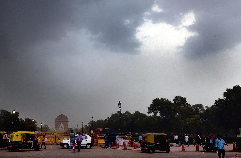
Safdarjung, Delhi’s base weather station, recorded a maximum temperature of 40.7°C, which is around normal for this time of the season. Najafgarh was the hottest location, with a high of 42.6°C. Strong winds of around 50-60 km/h were also recorded around 7pm, leading to six flights scheduled to land in Delhi being diverted to nearby airports.
The India Meteorological Department (IMD) said the impact of this western disturbance was felt over Delhi on Saturday and Sunday, with overcast skies expected on Monday as well. The mercury will, however, remain above 40°C.
RK Jenamani, scientist at IMD said the western disturbance led to easterly winds blowing towards Delhi, with a drizzle in isolated parts of the city, as humidity levels also shot up.
“On Monday, there will be thundery development, but no rain. The impact of this western disturbance will be gone by Monday night. Westerly winds are expected from Tuesday onwards, but the maximum will remain between 41°C and 43°C during this period, with no heatwave conditions expected till at least June 4,” he said.
Airport officials said the six flight diversions, to Lucknow and Jaipur, took place between 7.45pm and 9.30pm, primarily due to strong winds. “Some flights were delayed as well,” said the airport official.
Delhi’s maximum temperature was marginally lower a day ago, at 40.2°C.
Met officials said that in order for heatwave conditions to be declared in the city, the maximum temperature at stations will have to exceed 45°C.
For a heatwave to be declared, not only does the maximum need to be above 40°C, it should also be 4.5°C above normal mark. The normal maximum temperature for May 26-30 is 40.4°C.
Delhi’s hottest day so far this year was May 15, when Safdarjung recorded a maximum temperature of 45.6°C. Temperatures started dipping from May 20, with a western disturbance bringing three consecutive days of rain — on May 22, 23 and 24.
IMD data shows Delhi has received 29.9mm of rainfall so far this month, over 10mm more than the monthly average of 19.7mm.
In terms of minimum temperature, Delhi had a low of 28.7 degrees Celsius – two notches above normal, while relative humidity oscillated between 31% and 66% respectively. The weather office’s forecast for the next three days shows that the maximum temperature will hover between 41°C and 43°C, and the minimum will remain around 28°C.
In terms of air quality, Delhi’s air deteriorated in the past 24 hours, touching the higher end of the ‘poor’ category. Delhi’s overall air quality index (AQI) was recorded at 273 (poor) on Sunday, showed data from the Central Pollution Control Board’s daily 4pm bulletin. In comparison, it was 210 (poor) on Saturday.
As per the System of Air Quality and Weather Forecasting and Research (Safar), a government air forecasting body, Delhi’s primarily pollutant at the moment is PM 10, which largely comprises of coarser particles, arising from dust.
“Dust (size > 2.5 micrometer) contributes to around 77% to PM10. For the next three days (30th, 31st, 1st) peak wind speed is likely to be around 18 km/h causing moderate dispersion and the AQI is likely to remain within the ‘poor’ or be in the lower end of the ‘very poor’ category,” said Safar.


