E-Paper



Lucknow traffic police puts 153 digital pins on Ayodhya road to map infra woes
153 problem points have been geo-tagged across 10 routes, giving each location a precise identity to help engineering agencies locate, prioritise and fix them.

 Prefer HTon Google


Lucknow’s busy Ayodhya road now has a precise location marked for every traffic trouble spot. From potholes and broken roads to narrow service lanes and congestion-prone junctions, the traffic police has geo-tagged 153 problem points across 10 routes, giving each location a precise identity to help civic and engineering agencies locate, prioritise and fix them.
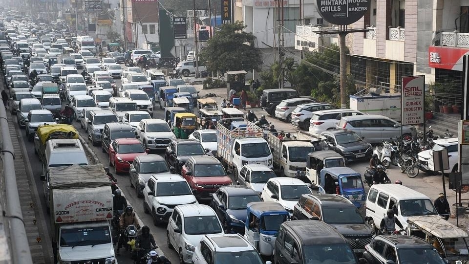
“The traffic police has geo-referenced 153 problem points by recording their latitude and longitude, along with details of the existing problem, its impact on traffic and the intervention required. The move is aimed at ensuring that agencies involved in improving the corridor can identify and act on a specific location rather than dealing with the stretch as a whole,” said DCP Traffic Raveena Tyagi.
Traffic officials said the Polytechnic-Chinhat stretch has been taken up as the first phase of the exercise.
Also Read I Fresh cracks trigger 1.5-km diversion on Lucknow-Kanpur Expressway
Identifying precise pain points
The geo-tagging will allow concerned departments to identify the exact location of a problem instead of treating the entire road stretch as a single traffic management challenge. It will also help monitor the progress of proposed interventions on a point-wise basis.
Officials have been directed to prioritise works that can be carried out quickly using existing infrastructure and available resources. Larger and long-term interventions will be taken up after technical assessment and coordination among departments.
Also Read I Crackdown on cyber crime, easing traffic congestion on Lucknow police commissioner’s priority list
A ground inspection
The 153 locations cover both directions between Polytechnic and Chinhat, besides adjoining stretches including Chinhat-Kathauta, Kamta-Awadh Bus Station, Kamta-Vijaypur service road and Vijaypur underpass-IGP Chauraha.
Officials from the Lucknow Development Authority (LDA), Nagar Nigam, Public Works Department (PWD) and regional transport office (RTO) joined traffic police in a joint ground inspection on Saturday. The agencies examined the geo-referenced locations and proposed interventions, discussing their technical feasibility, priority and likely impact on traffic flow and road safety.
Also Read I Lucknow-Kanpur Expressway woes: In monsoon deficit months, contractor’s ‘heavy rain’ claim under scanner
The nearly week-long exercise assessed carriageway width, service lanes, junctions, U-turns, entry-exit points, parking, pedestrian movement and road safety. The mapping is part of the wider exercise following the high court’s directions for long-term traffic improvement on Ayodhya road.