
 E-Paper



Pre-monsoon showers bring relief from heat wave in Uttar Pradesh
Day temperature drops in Uttar Pradesh districts following rain, as delayed monsoon yet to enter. Relief from heat wave expected with possible rainfall increase from June 24.


Day temperature in various districts of Uttar Pradesh dropped following sporadic rain on Sunday even as already delayed southwest monsoon (SW) is yet to enter the state. Malihabad and other parts of the state capital also experienced sporadic rain in the evening after which weather in Lucknow turned pleasant.
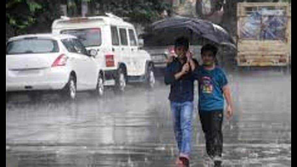
Hamirpur received maximum 15.2 mm rain followed by Prayagraj with 8.6 mm rain, Gorakhpur 3.6 mm, Varanasi (BHU) 3.4 mm and Bareilly 2.4 mm. As per the India Meteorological Department (IMD) forecast, Lucknow is likely to get some rain on Sunday and thereafter its pace with increase from Monday.
A weatherman said conditions are favourable for southwest monsoon to advance to some parts of eastern Uttar Pradesh during next 3-4 days. Normally SW monsoon reaches Gorakhpur by June 18, Varanasi, Prayagraj, Lucknow and Kanpur by around June 23, Jhansi and Bareilly by June 24, Mainpuri by June 25 and covers the entire Uttar Pradesh by June 27, read an IMD bulletin.
“Due to the ongoing pre-monsoon thunderstorm in the state, there was a drop in the maximum temperature in the south-western part and hence the heat wave situation ended in the state,” aid Atul Kumar Singh, senior scientist at met department, Lucknow.
“Although, the possibility of it reappearing at some places due to increase in temperature in western Uttar Pradesh cannot be ruled out till June 25,” he added. “In view of the possible arrival of monsoon in the next 3-4 days and the possible increase in rainfall from June 24, there is a possibility of relief from heat wave conditions in several parts of U.P. There is also a possibility of heavy rainfall in some districts of Purvanchal region from June 24 to 26,” Singh said.
Rain deficit for June was 78% in western U.P. and 76% in eastern parts of the state on Saturday. On an average, there was 76% rain deficit for June in the state on the day. So far, eastern U.P. has experienced 13.5 mm rain against normal 55.5 mm while western U.P. recorded only 9 mm rain against normal 40.9 mm.
Maximum and minimum temperature in Lucknow was recorded at 39.8 and 30.4 degrees Celsius respectively on Saturday. The forecast for the state capital is mainly clear sky becoming partly cloudy. Maximum and minimum temperature will be around 39 and 30 degrees Celsius respectively on Sunday.
Rain is expected to start in Lucknow from June 24 and good rain is expected from June 25. There is also a possibility of an effective drop in temperature after June 24. However, possibility of pre-monsoon thunderstorm cannot be ruled out even before this.
The IMD forecast for the state is rain/thundershowers very likely at isolated places over western U.P. and rain/thundershowers is very likely at a few places over eastern U.P. As per the IMD, heat wave is very likely to continue at isolated places over western U.P.
“Thunderstorm accompanied by lightning/gusty winds (speed 30-40 kmph) is very likely at isolated places over eastern UP,” said Mohd Danish, senior scientist at Lucknow met office.
During the last 24 hours, minimum temperatures increased significantly in Varanasi and Jhansi divisions and there was no major change in the rest of the divisions. Night temperatures were above normal (+1.6 degree Celsius to +3.0 degrees Celsius) in Kanpur, Lucknow, Varanasi and Agra divisions and rest of the divisions recorded normal (-1.5 degrees Celsius to +1.5 degrees Celsius).
The highest minimum temperature in the state was recorded in Kanpur (IAF) at 31.7 degrees Celsius and the lowest minimum temperature was recorded in Shahjahanpur at 24.4 degrees Celsius.


