
 E-Paper



Cuffe Parade-Nariman Point connector to run along the coast
A 418-metre double-decker flyover would be part of the 1.869-km Cuffe Parade-Nariman Point connector, to accommodate more traffic along a narrow stretch, officials said

 Prefer HTon Google


Mumbai: Following concerns raised by fishermen, the Mumbai Metropolitan Region Development Authority (MMRDA) has changed the design of the Cuffe Parade-Nariman Point connector to bypass the fishing zone along the route.
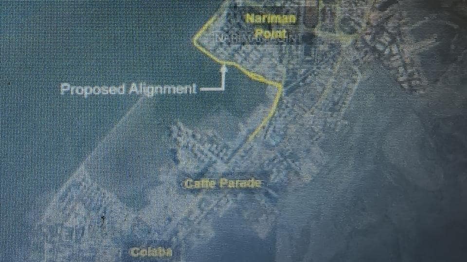
“As per instructions issued by chief minister Devendra Fadnavis, the connector will now travel along the coast instead of being a bridge. It will travel past Machimar Nagar, Manora MLA hostel and the southern end of the NCPA to land on Marine Drive,” said Vishal Jambhale, chief engineer, MMRDA.
Earlier, the MMRDA had to change the design of the coastal road to accommodate fishing boats at Worli while the Maharashtra State Road Development Corporation had to change design of Worli-Bandra Sealink over similar concerns.
Jambhale said a 418-metre double-decker flyover would be part of the 1.869-km Cuffe Parade-Nariman Point connector, to accommodate more traffic along a narrow stretch. A portion of the Dorabji Tata Road would also be improved and the entire project would cost ₹588.36 crore, he said. The state government will have to acquire 1,765.52 square metres of land at various places to facilitate the project.
As per letters submitted by the MMRDA to the government and the state coastal zone management authority, although the Nariman Point and Cuffe Parade are barely a kilometre apart, commuters have to take a 5-kilometer detour through heavily congested areas like Mantralaya, Fort, and Madam Cama Road, the journey often lasting 30 minutes during peak hours. The proposed project will reduce the travel time to less than half, while improving connectivity between business districts in south Mumbai, the letters said.
“From the traffic point of view, the travel time from Nariman Point to Colaba during peak hours is approximately 35 minutes at a speed of 12kmph, which will become 12 minutes with a speed of 35 kmph. This will result in saving of minutes per vehicle; considering average peak hour traffic at 2,500 vehicles/hour, 960 hours would be saved, which will greatly benefit the island city, documents submitted by MMRDA said.
The southern end of the connector would be accessible from Captain Prakash Pethe Marg near Navy Nagar, Colaba while the northern-end near Nariman Point would be accessible from Netaji Subhash Chandra Bose Road.
Stay updated with all the Breaking News and Latest News from Mumbai. Click here for comprehensive coverage of top Cities including Bengaluru, Delhi, Hyderabad, and more across India along with Stay informed on the latest happenings in World News.


