
 E-Paper



Rainfall activity expected to pick up across Maha ahead of I-Day
According to the IMD’s colour-coded forecast, several parts of the state are likely to receive rainfall between August 13 and 15. A yellow alert has been issued for multiple districts in the Konkan, central Maharashtra, and Marathwada regions for the next 48 hours.


PUNE: After a brief lag, rainfall activity is expected to pick up across the state ahead of Independence Day. As per the India Meteorological Department’s (IMD’s) latest forecast issued on August 12, an orange alert has been sounded for parts of Maharashtra, mostly belonging to the Konkan and Vidarbha region, between August 13 and 16. Meanwhile, a yellow alert has been issued for several districts in central Maharashtra.
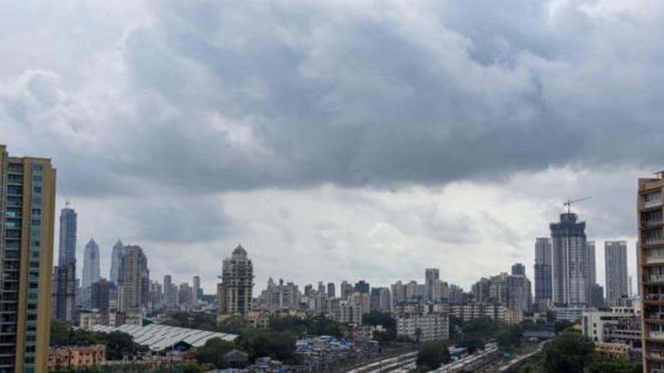
According to the IMD’s colour-coded forecast, several parts of the state are likely to receive rainfall between August 13 and 15. A yellow alert has been issued for multiple districts in the Konkan, central Maharashtra, and Marathwada regions for the next 48 hours. An orange alert has been issued for Vidarbha during the same period. Districts such as Nandurbar, Dhule, Jalgaon, Nashik, Sangli, and Kolhapur are likely to witness rainfall activity however no alert has been issued for these areas as the rain is expected to be light to very light.
According to the weather bulletin issued on Tuesday, August 12, the western end of the monsoon trough is positioned north of its normal location while the eastern end lies close to the Himalayan foothills. An upper air cyclonic circulation persists over central Bay of Bengal, which is expected to give rise to a low-pressure area over west-central and adjoining northwest Bay of Bengal on August 13. This system is likely to intensify over the subsequent 48 hours. Another cyclonic circulation is present over north interior Karnataka, connected via an east–west trough to the Bay of Bengal system. Several other upper air cyclonic circulations are also influencing weather patterns over different parts of the country.
Under these conditions, the IMD has predicted isolated heavy rainfall over central Maharashtra between August 13 and 18; over Konkan and Goa between August 12 and 18; and over Marathwada between August 13 and 16. Very heavy rain is likely in Konkan, Goa, and the ghat areas of Madhya Maharashtra between August 15 and 18.
About the prevailing weather conditions in Pune, S D Sanap, senior meteorologist at IMD Pune, said that the city is expected to witness rainfall activity over the next few days. In view of this forecast, the IMD has issued a yellow alert for Pune city. He added that the ghat areas are likely to receive moderate to heavy rainfall, particularly on August 15 and 16. Accordingly, a yellow alert has been issued for moderate rainfall and an orange alert for the possibility of heavier spells in these regions. During this period, Pune is also likely to experience predominantly cloudy skies and overcast conditions.


