
 E-Paper



Monsoon progress stalls due to weak winds: IMD
Moisture-laden westerlies unable to penetrate the interiors of Maharashtra resulting in monsoon rainfall below expectation, says IMD


PUNE: Due to weakening over the north Maharashtra coast, the moisture-laden westerlies were unable to penetrate the interiors of Maharashtra resulting in rainfall below expectation. However, isolated ghat areas received heavy rainfall during the last few day, according to India Meteorological Department (IMD) officials.
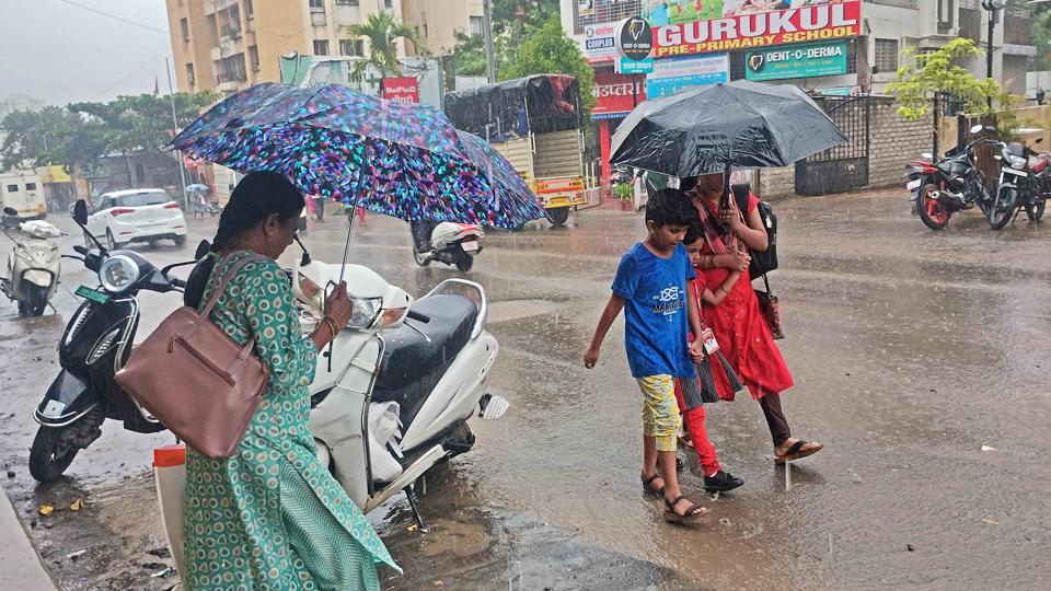
The IMD has issued an orange alert (heavy to very heavy rainfall) for some areas in Maharashtra including Pune city from July 6 to 8. However, many areas in Pune city did not receive good rainfall.
Anupam Kashyapi, head of the weather forecasting department, IMD, said, “The IMD has issued an orange alert for heavy to very heavy rainfall in isolated places. Although the city areas haven’t experienced widespread good rainfall, some areas have received light to moderate rainfall during these days. Similarly, the ghat areas around the city have experienced heavy rainfall in isolated places.”
“In the city area too, we were expecting widespread good rainfall however as the weather dynamics are constantly changing, Nature throws up different challenges for weather forecasting. There was an indication of a strong monsoon in Maharashtra. However, the weak westerly winds were unable to penetrate the interiors of Maharashtra due to which the rainfall was limited to the coastal areas and the ghat areas around the cities,” Kashyapi said.
Similarly, the Karnataka and Goa regions too received heavy rainfall in the last four days, as the wind formation was more inclined towards the south of Maharashtra.
Recently, some people took to social media to criticise the IMD for its weather predictions being way off the mark. Some even raised questions over the accuracy of weather forecasting in India.
Vineet Kumar, a former researcher at the IITM, said, “While the models are now efficient in capturing most of the events accurately, errors do keep occurring. This is because monsoon dynamics are still not fully resolved in the model. Also, the uncertainty in the forecasts increases with errors or lack of initial conditions of atmospheric and ocean data. Further, we must understand that the models cannot predict accurately the quantum of rain, as models work at 12 km resolution. Thus, it is difficult to capture the quantum of extreme rain events and the exact place where the extreme rain events will occur. The orography presents another challenge in models as the orographic rainfall is not fully resolved in the models. Due to complex orography all along the western ghats, it is close to impossible to accurately predict the quantum of rain every time.”
“However, you see the models did very well in capturing the ongoing heavy rain spell in Karnataka, Goa, and north Kerala. The current absence of rain in the Maharashtra ghats is due to weak westerlies; there is an east-west shear zone formation which has led to weakened westerlies over the Maharashtra coast and ghats due to which moisture-laden westerly winds are unable to penetrate the interiors of Maharashtra,” he said.
On Friday, five stations in central Maharashtra meteorological sub-division received over 100 mm of rainfall. These include: Ambone (122 mm), Shirgaon (113 mm), Tamhini (112mm), Dungerwadi (103mm) and Tulsi Lake (105 mm). The officials said moderate to heavy rainfall will continue in the ghat areas for the next 24 hours. Thereafter, the intensity of rainfall will reduce for some time.


