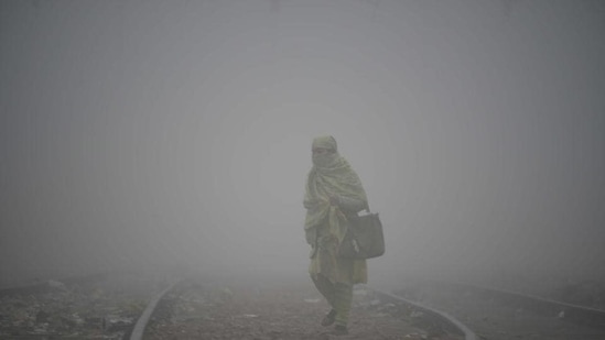
Dense fog conditions during night and morning hours are very likely to prevail in isolated places over northern parts of Punjab, Haryana and Uttar Pradesh during the next 24 hours, according to the Indian Meteorological Department (IMD). Images shared by news agency ANI showed Saharanpur city engulfed in dense fog, resulting in low visibility on Sunday morning.
Parts of southern Tamil Nadu districts have been witnessing rainfall due to a feeble trough over the Comorin area and strong northeasterly winds prevailing over coastal Tamilnadu in lower tropospheric levels.
“Under their influence, isolated thunderstorms are very likely to continue over south Tamilnadu-Puducherry-Karaikal and south Kerala- Mahe accompanied with Heavy rainfall at isolated places over south Tamilnadu during next 24 hours,” the IMD said on Saturday.
The Met department has predicted isolated to scattered light rainfall/snowfall very likely over Jammu and Kashmir, Ladakh, Gilgit-Baltistan and Muzaffarabad during February 13-16 and over Himachal Pradesh and Uttarakhand on February 15-16.
Another Western Disturbance is very likely to cause scattered to fairly widespread light rainfall/snowfall over Western Himalayan Region and light isolated to scattered rainfall over plains of northwest India from February 17-20.
Delhi witnessed a clear sky on Saturday with the maximum temperature settling at 23.4 degrees Celsius and is expected to see similar weather conditions on Sunday. The maximum and minimum temperatures are likely to settle around 24 and 7 degrees Celsius.
{{/usCountry}}Delhi witnessed a clear sky on Saturday with the maximum temperature settling at 23.4 degrees Celsius and is expected to see similar weather conditions on Sunday. The maximum and minimum temperatures are likely to settle around 24 and 7 degrees Celsius.
{{/usCountry}}The minimum temperature over most parts of Northwest India is very likely to gradually rise by 2-4 degrees Celsius during the next three days and no significant change thereafter.