
 E-Paper



Rain, thunderstorm likely across NW India; downpour warning for U’khand
IMD has warned of localised mudslides(for plain areas) and landslides (for hill and vulnerable areas). Damage to horticulture and standing crops is also likely in some areas due to inundation. Heavy rain may lead to riverine flooding in some river catchments

 Prefer HTon Google


There is likely to be widespread rain and thunder over northwest India and the western Himalayan region today, IMD has warned.
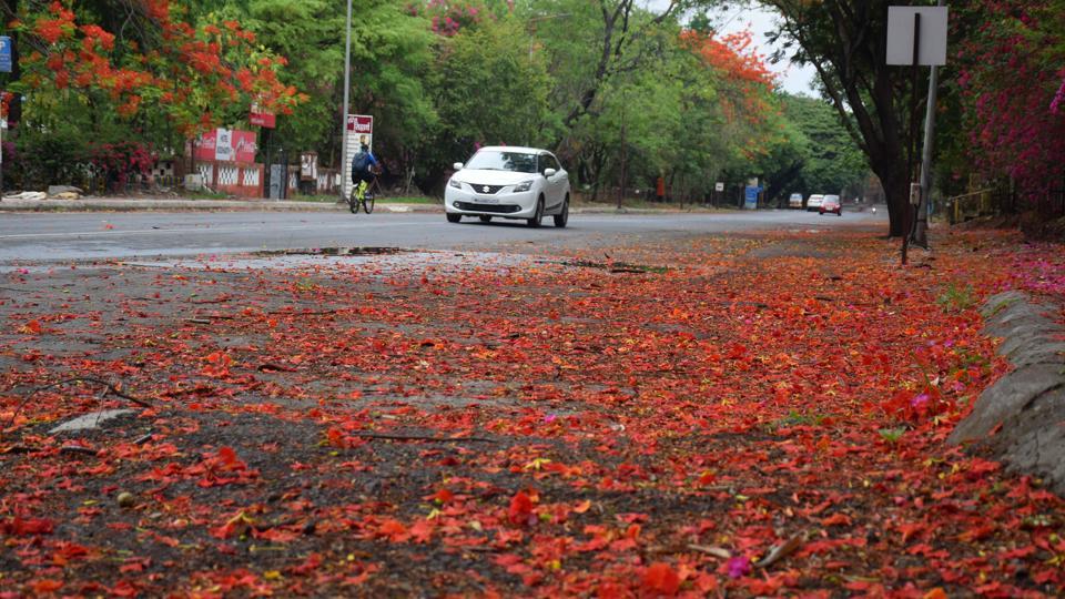
Due to likely heavy to very heavy rain at isolated places over Himachal Pradesh, Haryana, Chandigarh, Delhi and West Uttar Pradesh today, Iocalised flooding of roads; waterlogging in low lying areas and closure of underpasses in urban areas is likely. There could be traffic disruption also.
IMD has warned of localised mudslides(for plain areas) and landslides (for hill and vulnerable areas). Damage to horticulture and standing crops is also likely in some areas due to inundation. Heavy rain may lead to riverine flooding in some river catchments.
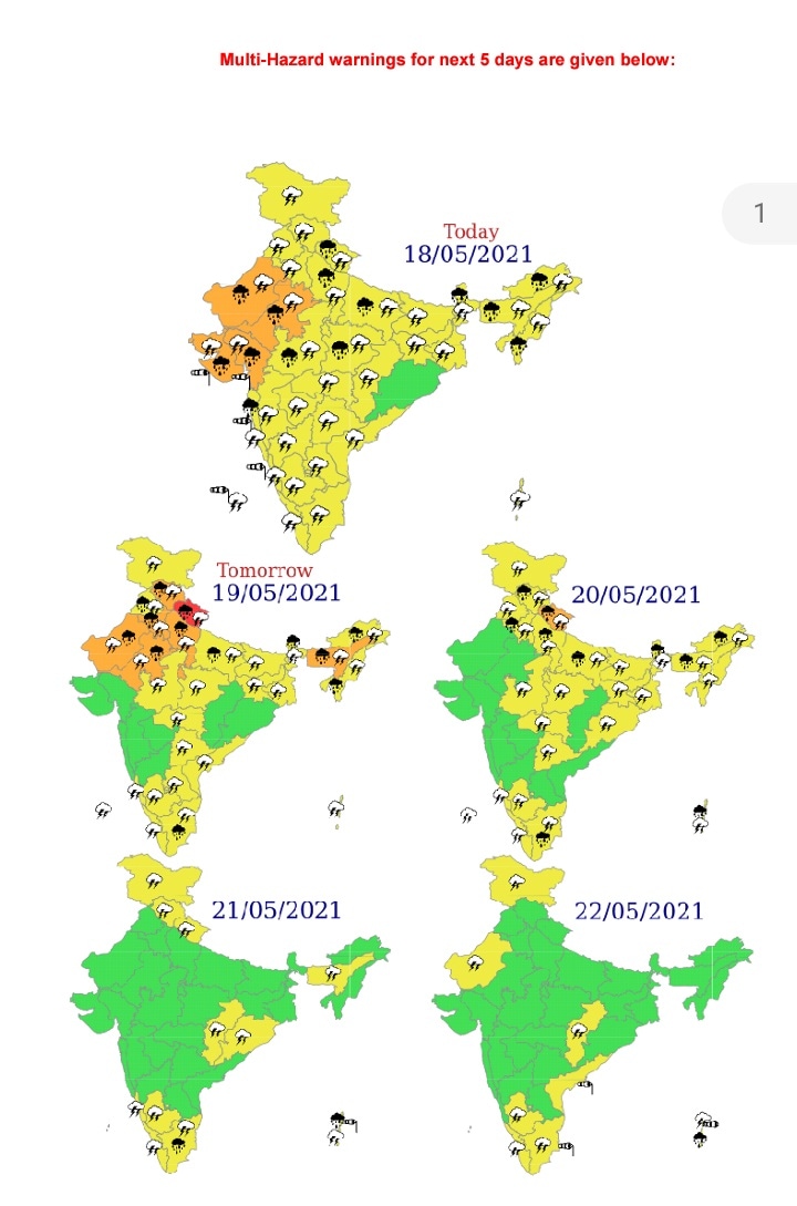
There is a red category warning for Uttarakhand and an orange category warning for rest of northwest India today.
A red category warning implies that authorities should take action to prevent any disasters due to heavy rain while an orange category warning implies agencies should be prepared to respond to disasters related to heavy and widespread rain.
Extremely severe cyclonic storm, Tauktae which crossed Gujarat coast on Monday has weakened to a deep depression today. It is very likely to move north-northeastwards and weaken gradually into a depression.
The remnant of the cyclone is very likely to move north-eastwards across Rajasthan to west Uttar Pradesh today and tomorrow.
Also Read | Cyclone Tauktae: 317 people saved from barges, 390 stranded
Under its influence, rainfall at most places with heavy to very heavy falls at isolated places is likely over Gujarat region and Saurashtra and rainfall at many places with heavy to very heavy falls at isolated places over south Rajasthan.
Tidal wave above astronomical tide of about 1-2 metre (m) over Anand & Amreli, Gir Somnath, Diu, Bhavnagar and of about 1 m over Bharuch, southern parts of Ahmedabad, Surat, Navsari, Valsad is likely to inundate coastal areas.
Remnants of Tauktae and its interaction with an approaching western disturbance is likely to cause fairly widespread to widespread rainfall/thunderstorms over the western Himalayan region and adjoining plains of northwest India today and tomorrow along with isolated heavy to very heavy rainfall over Himachal Pradesh, Uttarakhand, Haryana, Chandigarh, Delhi and West Uttar Pradesh today and heavy rainfall at isolated places over Punjab also. Isolated extremely heavy rain (over 20 cm) is also likely over Uttarakhand today.


