
 E-Paper



Strong winds along Gujarat coast due to cyclone Hikaa: Met department
Hikaa is likely to intensify further during next 24 hours (September 24) and weaken gradually thereafter. It is very likely to move nearly westwards and cross Oman coast during early hours of September 25 as a deep depression. Strong winds of 30-40 kmph, gusting to 50 kmph are likely to prevail along and off Gujarat coast on September 23 night.


New Delhi: Fishermen along the western coast have been advised by India Meteorological Department (IMD) not to venture into northeast and east central Arabian Sea till September 24 morning and into northwest Arabian Sea till the morning of September 25. The Gujarat coast is likely to be impacted by cyclone Hikaa which is presently about 490 km west-southwest of Veraval in Gujarat.
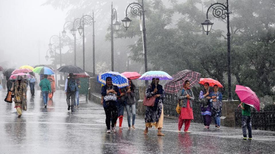
Hikaa is likely to intensify further during next 24 hours (September 24) and weaken gradually thereafter. It is very likely to move nearly westwards and cross Oman coast during early hours of September 25 as a deep depression. Strong winds of 30-40 kmph, gusting to 50 kmph are likely to prevail along and off Gujarat coast on September 23 night.
“We are not expecting heavy rains but the sea will be rough so we have advised fishermen not to venture to the sea till September 24. The cyclone has started moving away towards the Oman coast,” said K Sathi Devi, head of the National Weather Forecasting Centre, IMD.
A cyclonic circulation over west-central Bay of Bengal off north Andhra Pradesh coast is lying off South Andhra Pradesh and North Tamil Nadu coasts.
“Under its influence fairly widespread rainfall with isolated heavy to very heavy falls very likely over Tamil Nadu and heavy falls over coastal Andhra Pradesh, Rayalseema and Telangana during next three days,” IMD’s Monday bulletin said.
The monsoon rains are 5% above normal presently. There is no sign of monsoon retreat in the next three to four days according to IMD. The normal date for monsoon withdrawal is September 1.
“It’s still raining in parts of northwest India like in Gujarat and east Rajasthan. In fact we are expecting more and heavy rains in east Rajasthan the next few days. None of the parameters for monsoon withdrawal are being met yet,” added Sathi Devi.


