Popularly known as the Assam earthquake (and as Chayu or Medog earthquake), the 1950 event originated in the rugged mountainous areas between the Himalayas and the Hengudan mountain range (south-west China). Felt over 3 million sq. km in India, Myanmar (Burma), Bangladesh (then East Pakistan), Tibet and southern China, the earthquake caused extensive damage in many towns of Upper Assam and regions across the eastern Himalayas. It also affected Abor and Mishmi Hills and most of the Assam plains.
When the earthquake occurred Kingdon-Ward, an English botanist and explorer, was camping in Rima, a tiny hamlet on the slopes of the eastern Himalayas, near the Tibetan-Burmese border. He heard heavy explosive sounds following the shock, coming apparently from high in the air. While at Rima, Ward witnessed violent shaking, extensive slides and the rise of the streams. Slices of the hills had slid down, transforming the Brahmaputra River into an endless expanse of water. The earthquake severely damaged the forest along the banks of the river and the foothills. He heard heavy explosive sounds following the shock, coming from high in the air; such sounds were heard at many points in India and Burma, as far as 1200 km from the source of the earthquake. Although Ward was stationed near the quake’s source, he had little opportunity to make detailed observations. His primary concern was getting out of the turmoil and finding a way to head back to India.
15 August 1950 was an auspicious day, the third year of India’s Independence. People all over India were celebrating, and the nation’s mood was upbeat. In the widely tribal Assam Valley in the country’s north-eastern corner surrounded by the Himalayan mountains, it was already dark by 7.30 p.m., and the jubilant crowd was concluding the celebrations and getting ready to retire for the day. This was when they felt the earth tremble. Described as the home of earthquakes, the people of Assam have experienced many shocks, but none were as big. The shaking lasted four minutes and was so strong that slices of land moved, causing massive landslides and producing vast loads of debris choking the rivers. The epicentral region comprised the Abhor and Mishmi Hills in Arunachal Pradesh. E.P. Gee, a naturalist and a tea planter who had spent long years in Assam, noted that it was of greater intensity than the severe earthquakes of 1897 (Shillong), 1934 (Bihar) and 1935 (Quetta). He quotes some friends about their earthquake experiences: ‘The earth heaved and rolled with sickly undulating movement. Cars parked on level surfaces with brakes unapplied careered wildly about, fans swung, and some lights went out. In the end, there was a succession of loud booming noises described as resembling anti-aircraft fire.’ The Geological Survey of India assigned the task of collecting information about the effects of the earthquake to M.C. Poddar. At a time when the theory of plate tectonics had not taken shape, scientists, including him, were challenged to explain the earthquake’s cause. Poddar’s report gives details of ground deformation and occurrence of liquefaction during the earthquake.
The earthquake did not originate strictly within the Indian territory but near Rima. However, it was more damaging in Assam. Recollections by Renu Majumdar, interviewed by Angana Majumdar and published by The Sentinel, Assam’s English daily newspaper, give a rare insight from the first-person experience of this great earthquake. Renu was fifteen years old at the time of the earthquake and she describes the event as ‘. . . a strong tremor and a loud sound in the evening. The house started trembling suddenly, and the ground started shaking violently . . .’ She recalled how the tall coconut trees got buried so deep at a place known as Sadiya that the people could directly pluck the fruits from the ground. Her vivid description shows the voluminous amount of sediment and debris that might have accumulated over the surface to sink a coconut tree, even a young one with a moderate height of a few metres. These sediments must have eventually reached the delta front of the Bangladesh plains and helped the islands grow faster.
Some newspapers reported that volcanic activity was the cause of the earthquake. Poddar had figured out that earthquakes related to volcanism would typically be associated with many localized tremors, and the activity would decrease rapidly. As this was not the case, he ruled out volcanism and proposed a ‘tectonic origin’ on faults along the India–China border. Indeed, a remarkable proposition, nearly two decades before plate tectonic theory found wider acceptance. In his reports based on post-earthquake surveys, Poddar reported extensive damage to many towns of upper Assam, with about 1500 casualties on the Indian side. Most likely, an equal number or more had died in the hilly terrain on the Chinese and the Burmese side. The highest felt intensities were reported from a narrow quadrant to the south-west, possibly because of the amplification of shaking effects within the alluvium. The instrumentally recorded magnitude of the earthquake was 8.7. The aftershocks lasted for about eight months, and many of them were above magnitude 6. The data collected by A.N. Tandon, the noted Indian seismologist, was used to estimate the geographical spread of the aftershock and epicentre of the great earthquake. From such data, the Indian Seismological Service established an enormous geographical reach of this activity, extending to the source region of a 7.3 magnitude earthquake near Tibet, which occurred in 1947. If indeed this was a foreshock remains a tantalizing question, but in the absence of authentic data this question remains unanswered.
Apart from causing damage to property, the earthquake also impacted communication systems. Rail communications in the region had to be suspended due to damage to the tracks and bridges. The Times of India of 21 November 1950 reported a staggering number of 12,000 buildings and 2000 granaries destroyed. In the land known for its sprawling tea plantations spread over 342 acres, the earthquake destroyed nearly 126 acres. Shaking effects were compounded by the flood and the rivers, bringing down sand, mud, trees and debris because of the monsoon. Pilots flying over the affected areas reported significant changes in topography and the destruction of forests, mainly due to enormous landslides and debris flow. Many hills were sheared, and the rock debris fell into the valleys below, blocking and breaching the rivers and generating flash floods downstream. The earthquake-induced landslides, floods and erosion of the riverbanks impacted forests and destroyed wildlife. On the Indian side, more than 1500 people lost their lives. The loss of cattle is estimated to be from 50,000 to 1,00,000.
In the Assam Valley, the river flows connect people and places and sustain the economy and social life. The earthquake could have mobilized about 47 cubic km of material, resulting in a high sediment load in the Brahmaputra. It took many years to flush the sediment through its lower courses. The abnormal river pattern continued for several years since the earthquake, affecting the lives of local communities in myriad ways. There was a depletion of river-borne fish due to increased mud and depletion in the oxygen level.
In summary, the 1950 earthquake caused a long-lasting disruption to social and economic activities like no other earthquake, including the one in 1897. Some lakes formed by temporary damming endured for a long time as a reminder of how earthquake changes the landscape permanently. The Shonga-tser Lake, created after the earthquake, is a great tourist attraction today due to its scenic beauty. After the Bollywood movie Koyla was shot here, the lake was named ‘Madhuri Lake’ after Madhuri Dixit, one of India’s legendary actors. No doubt, the lake is quite a breathtaking sight. This scenic splendour reminds the visitors of earthquakes’ role in sustaining the natural world—whether in raising the mountains or forming the lakes—where life thrives despite the destruction to built environments
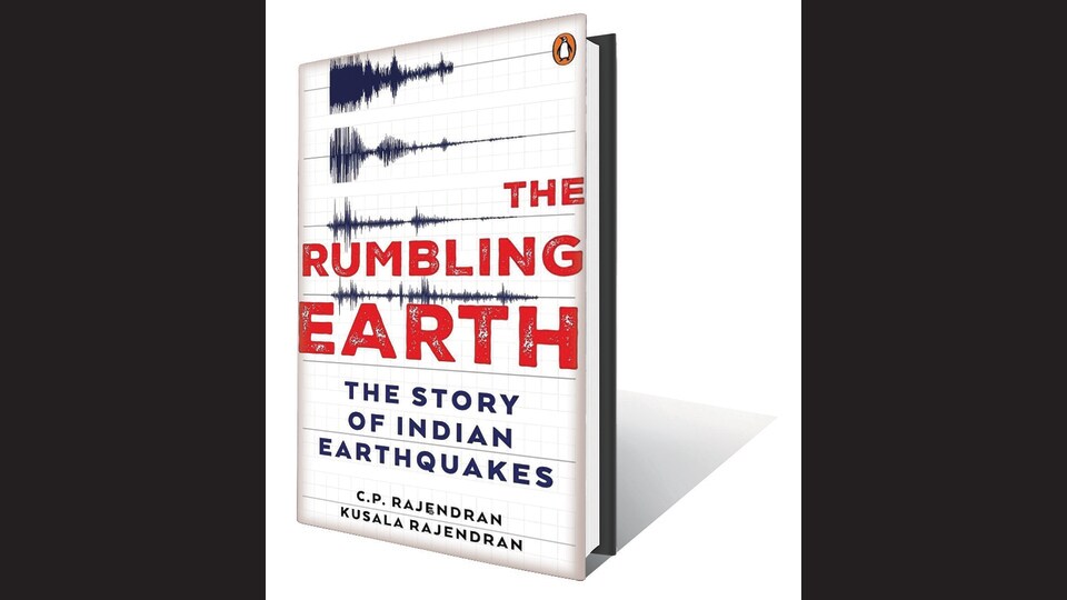
(Excerpted from The Rumbling Earth: The Story of Indian Earthquakes, by CP Rajendran and Kusala Rajendran; Vintage; 2023)

 E-Paper




 Prefer HTon Google