
 E-Paper



Chandigarh: After hottest day and night of season, gear up for rains
A Western Disturbance started affecting the region on Thursday evening and rain is likely to begin from Friday onwards, said IMD officials


Both the maximum and minimum temperatures hit the season’s high in the city on Thursday, but rain relief is around the corner, as forecast by the India Meteorological Department (IMD).
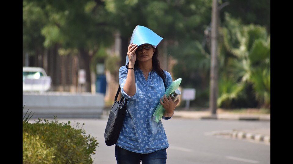
The maximum temperature went up from 31.8°C on Wednesday to 31.9°C on Thursday, 4.4 degrees above normal, while the minimum temperature shot up from 15.3°C to 17.5°C, 5.1 degrees above normal.
But a Western Disturbance (WD) started affecting the region on Thursday evening, IMD officials said, and rain was likely to begin from Friday onwards. Combined with a fresh WD from Sunday, showers can be expected up to Tuesday.
“There are chances of rain all over India during this period. Moisture from the Arabian Sea can also lead to moderate rainfall here,” said Manmohan Singh, director, IMD, Chandigarh.
IMD has also issued a yellow warning for thunderstorms and gusty winds up to 40 km per hour in the region for these days. Second of the four colour warnings used by IMD, yellow alert asks people to watch and be updated.
Due to the rain spells and cloudy weather, a drop in the temperature is expected. The day temperature can plunge by as much as 10 degrees in the next five days. But the night temperature is unlikely to change much.
Over the next three days, the maximum temperature will hover between 25°C and 29°C, while the minimum temperature will remain between 15°C and 18°C.


