
 E-Paper



Ghaziabad civic body set to map infra with remote sensing survey
The Ghaziabad municipal corporation at present maintains 2,700 kilometres of road network, 2,400 kilometres of sewerage network, besides 1,350 parks and green belts (about 60%) adjoining major roads across the city. Officials said that an extended work order will also be given for mapping of infrastructure in Indirapuram


The Ghaziabad municipal corporation will be soon undertaking a remote sensing survey to map ground-level and below the ground civic infrastructure in a bid to improve the delivery of services to residents. Officials said that the survey will start this month and will help the civic body to keep a track of its existing infrastructure.
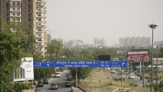
The corporation at present maintains 2,700 kilometres of road network, 2,400 kilometres of sewerage network, besides 1,350 parks and green belts (about 60%) adjoining major roads across the city. Officials said that an extended work order will also be given for mapping of infrastructure in Indirapuram.
“We have contacted the remote sensing agency and the mapping work will be taken up by them through their office in Lucknow (Remote Sensing Applications Centre, Lucknow). The data available with us is haphazard in nature and manual records are decades old. For instance, when it comes to revamping infrastructure such as sewerage, we do not have figures for the exact dimensions of pipelines. The mapping will provide us all these details of the existing infrastructure,” said Mahendra Singh Tanwar, Ghaziabad municipal commissioner.
The mapping will include survey of roads, sewerage, drainage, green belts, central verges, poles, shops, parks and other facilities maintained by the municipal corporation.
Once the survey is completed, officials plan to identify roads and divide them into three colour schemes – green, yellow and red. Green will include roads which are in good condition, while yellow will include roads that need minor repairs. Roads that need major repairs will fall under red, officials added.
“The survey will be helpful in formulating projects. We were trying to have the mapping service done for the past one year but agencies quoted exorbitant prices,” Tanwar added.
“We have been demanding different inventory registers related to roads, land, sewerage and other facilities under the jurisdiction of the Ghaziabad municipal corporation, but civic body officials never presented these registers before the board. When the colonies are developed and handed over to the corporation, the developing agencies have all the data of infrastructure. Likewise, if sewer lines were laid by executing agencies, the data is available. It just needs to be compiled in a meaningful manner which has never been done,” said Rajendra Tyagi, councillor from Raj Nagar.

Stay updated with all the Breaking News and Latest News from Mumbai. Click here for comprehensive coverage of top Cities including Bengaluru, Delhi, Hyderabad, and more across India along with Stay informed on the latest happenings in World News.


