
 E-Paper



Karnal’s geographic information system lab becomes operational
Taking a big step to digitise the data of all departments through satellite images, the geographic information system (GIS) lab has been made operational in Karnal


Taking a big step to digitise the data of all departments through satellite images, the geographic information system (GIS) lab has been made operational in Karnal.
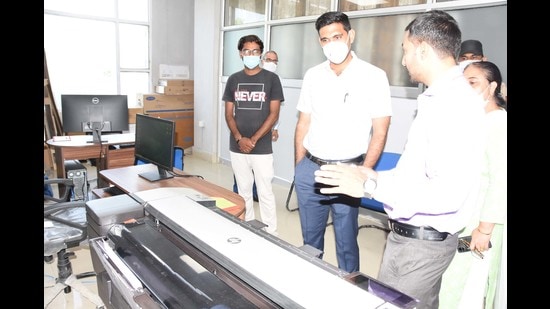
Deputy commissioner Nishant Kumar Yadav inaugurated the lab here on Wednesday. He said the facility has been set up by the Haryana Space Application Centre (HARSAC). GIS mapping will help all government departments to get satellite-based data for transparent and better planning.
The lab will also help the authorities keep a check on stubble burning in district as this lab will help them detect active fire locations.
Project fellow Rohit Pandey said HARSAC will monitor the lab and will provide map-based solutions to government departments, especially the revenue, agriculture, disaster management, and the police.
The DC has asked officials to provide digital mapping of all parks under Karnal municipal corporation. A meeting of officials of the departments concerned was called to gather the information available for this.


