
 E-Paper



Cold wave conditions likely in Punjab, Haryana, Rajasthan over next two days
Weak La Nina conditions, which are also associated with colder winters in northwest India, are prevailing over the equatorial Pacific region, according to weather experts

 Prefer HTon Google


Cold wave conditions are likely in parts of Punjab, Haryana and northern Rajasthan for the first time this season over the next two days, the India Meteorological Department (IMD) said on Monday.
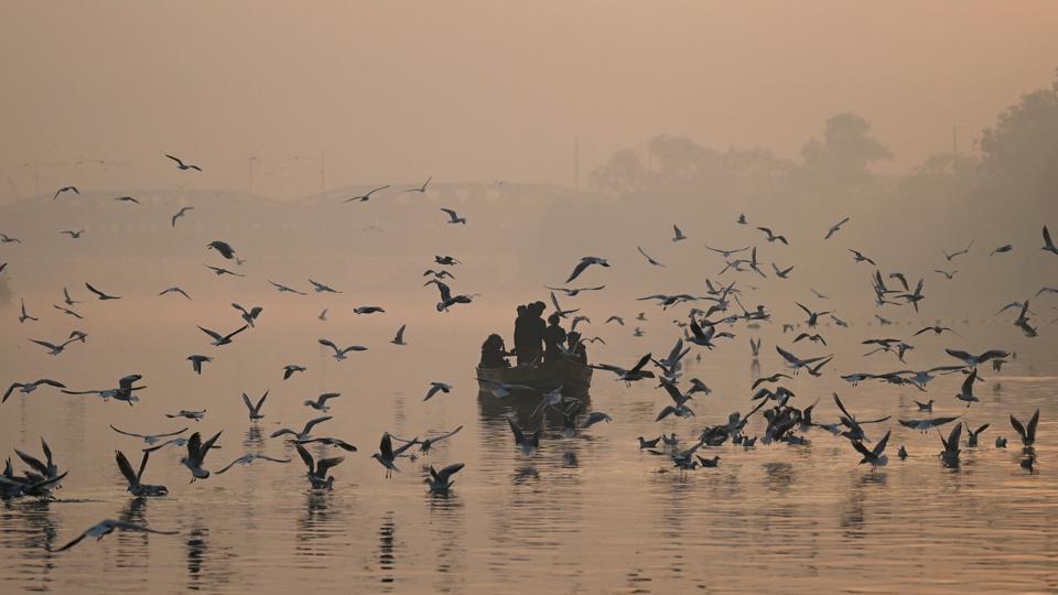
A minimum temperature of 10 degrees Celsius or below and/or 4.5 notches lesser than the season’s normal for two consecutive days is classified as a cold wave in the plains. A cold wave is also declared when the minimum temperature is less than four degrees Celsius in the plains.
The mercury in Delhi fell to 9.6 or three degrees below the normal on November 17 and 9.8 degrees Celsius, three notches below normal, on Sunday. On Monday, the minimum temperature was 11.4 degrees Celsius. Hisar recorded 7.2 degrees Celsius, four notches below normal on Monday.
D S Pai, who heads climate research and services at IMD (Pune) said there are two ways by which the temperature falls. “One is a clear sky, which leads to the warmth radiating back quickly from the surface. It is called radiational cooling. There are clear skies over northwest India now.” He added the other reason for cold setting in is that northwesterly cold and dry winds are blowing over the region from the Himalayas. “There is a low-pressure area over the Arabian Sea, which causes advection of northwesterly winds over the northwestern region. Consecutive low-pressure areas have formed over the Arabian Sea.”
A cyclonic circulation is lying over the southeast Bay of Bengal and neighbourhood in lower tropospheric levels. It is very likely to move west-northwestward towards the Tamil Nadu coast during the next four-five days. A trough (line of low pressure) is running from the cyclonic circulation over the southeast Bay of Bengal and neighbourhood to the Tamil Nadu coast. In association with the cyclonic circulation, moderate to heavy rainfall is likely in Karnataka, Kerala, Mahe, Tamil Nadu, Puducherry, and Karaikal during the next five days.
Also Read: Winter woes: Keep seasonal allergies at bay
R K Jenamani, a senior scientist at IMD’s National Weather Forecasting Centre, said they were expecting cold air incursion. “In Delhi, there may not be cold wave conditions but minimum temperatures will fall to about 8 to 9 degrees, around three to four notches below normal. In rural pockets, the cold wave conditions are likely to set in.”
Weak La Niña conditions, which are also associated with colder winters in northwest India, are prevailing over the equatorial Pacific region. The latest model forecast is indicating they are likely to strengthen and peak to moderate conditions during the winter season. Thereafter, the La Niña conditions are likely to start weakening to reach cold El Niño and the Southern Oscillation (ENSO) neutral conditions during the second quarter of the next year, according to an IMD bulletin for November.
ENSO is a periodic fluctuation in sea surface temperature and the air pressure of the overlying atmosphere across the equatorial Pacific Ocean. It has a major influence on weather and climate patterns such as heavy rains, floods, and drought. El Niño has a warming influence on global temperatures. La Niña has the opposite effect. In India, El Nino is associated with drought or weak monsoon while La Nina with the strong monsoon, above-average rains, and colder winters.


