
 E-Paper



Interaction of Western Disturbance, easterly wave led to unseasonal rainfall: IMD
There was an interaction between the easterly wave due to the northeast monsoon and an active western disturbance


An interaction of a Western Disturbance (WD) with low level easterlies over the past 2-3 days led to intense rainfall, thunder, lightning, and hail over several parts of west India during the past two days, India Meteorological Department (IMD) said.
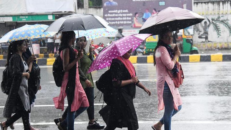
“There was an interaction between the easterly wave due to the northeast monsoon and an active western disturbance. They were phase-locked which led to heavy to very heavy rainfall, thunderstorm, lightning, and hail over several parts of Madhya Pradesh, Maharashtra, Gujarat and Rajasthan. We had warned of this intense rainfall activity around five days in advance,” said M Mohapatra, director general, IMD.
“The phase-lock has weakened now, and we are expecting the intensity of rainfall to reduce but rain will continue over Uttarakhand, east MP and even parts of Bihar,” added Mohapatra.
The Western Disturbance as a cyclonic circulation is lying over Central Pakistan. Its induced cyclonic circulation is lying over north Gujarat and adjoining Rajasthan in lower tropospheric levels. The phase locking of the above western disturbance with the low level easterly winds has become insignificant, IMD said in its bulletin on Monday.
Also Read: Chandigarh AQI turns poor; rain likely today
“Hence, the intensity of adverse weather is likely to reduce from today. However, under the influence of above systems: Light to moderate rainfall at some places accompanied with isolated thunderstorm and lightning very likely over Himachal Pradesh, Uttarakhand, East Rajasthan, Madhya Pradesh, north Madhya Maharashtra, Marathwada, Vidarbha and Chhattisgarh during 27-29 November with significant reduction thereafter,” the bulletin said.
Isolated heavy rainfall is very likely over Vidarbha, north Madhya Maharashtra and Marathwada on Monday. Hailstorms are also likely at isolated places over Uttarakhand, Madhya Pradesh, Vidarbha, north Madhya Maharashtra and Marathwada on Monday. Light rainfall at isolated places very likely over the plains of Northwest India on Monday.
“A WD was moving across the Western Himalayas and a deep trough was also there from north Pakistan up to northeast Arabian Sea across Rajasthan and Gujarat. The moisture from Arabian Sea and the moisture from the WD created conditions for very intense rainfall activity over Maharashtra, Gujarat, Rajasthan and MP. Such moisture incursion and low temperatures create clouds that can cause hail,” said Mahesh Palawat, vice president, climate and meteorology, Skymet Weather.


