
 E-Paper



Low pressure area over Andaman Sea likely to become depression
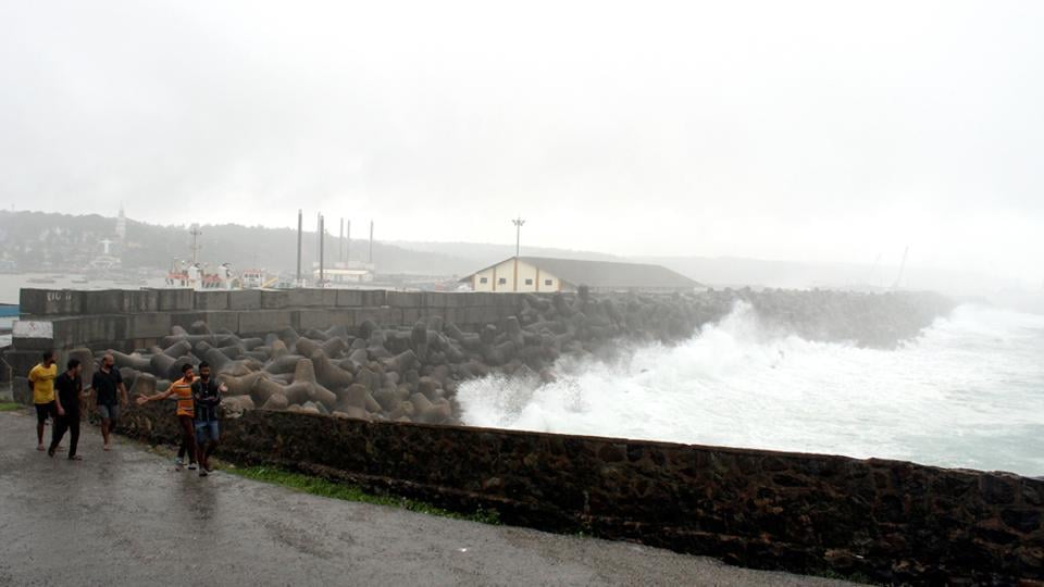
Regional met centre said rains and heavy showers should be expected in a few places in Tamil Nadu on Sunday and Monday under the influence of the cyclonic circulation.


A fresh spell of rainfall is expected to lash Tamil Nadu as the well-marked low pressure area over the south Andaman Sea is likely to turn into a depression in the next 24 hours and a deep depression in the subsequent 48 hours, the Met office said on Sunday.
Hovering over the north Sumatra coast and the adjoining south Andaman Sea, the low pressure area now lies over southeast Bay of Bengal and the adjoining south Andaman Sea and equatorial Indian Ocean, it said in its latest bulletin.
Also, there is a presence of associated cyclonic circulation extending up to 5.8km above the mean sea level, it said.
“It is very likely to become a depression over southeast Bay of Bengal and its neighbourhood during the next 24 hours and a deep depression during the subsequent 48 hours.”
The system is very likely to move towards north Tamil Nadu and south Andhra Pradesh in the next three to four days, it added.
S Balachandran, the director of Regional Meteorological Centre, said rains and heavy showers should be expected in a few places in Tamil Nadu on Sunday and Monday under the influence of the cyclonic circulation.


