
 E-Paper



Mahabaleshwar records its highest single day rainfall ever
The hill station in Maharashtra’s Satara district located in the Western Ghats recorded 60cm rainfall in 24 hours. Recording 20cm or more of rainfall in 24 hours is classified to be “extremely heavy” by the IMD

 Prefer HTon Google


Mahabaleshwar, a hill station in Maharashtra’s Satara district located in the Western Ghats, has recorded the highest rainfall ever in its history with 60cm in 24 hours. Recording 20cm or more in 24 hours is classified to be “extremely heavy” rain by India Meteorological Department (IMD).
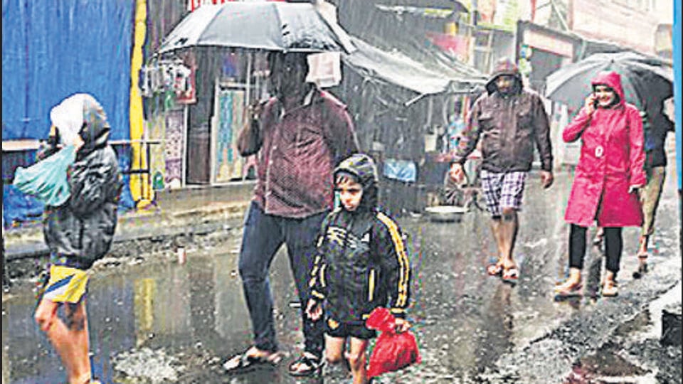
Between 8.30am on Thursday and 8.30am on Friday, Mahabaleshwar recorded rainfall which is three times that threshold. Other parts of the west coast also recorded exceptional rain and flooding during the past 24 hours with Kolhapur - 40cm; Londa - 38cm; Belagavi - 34cm; Betul - 28cm; Shivamogga - 27cm; Uttar Kannada - 24cm; Sanguem and Hoshangabad - 21cm each; Sanquelim -18 cm; and Kodagu -17cm.
Also Read | Mumbai under orange alert, to receive lesser rain than last 4 days
Mahabaleshwar recorded its second highest rainfall of 49.7cm on August 11, 2008. Its third highest rainfall of 48cm was reported on Thursday, July 22, 2021. Fourth highest rain, of 43.9cm, was recorded on July 7, 1977.
The offshore trough at mean sea level running from Maharashtra coast to north Kerala coast which is causing very heavy rains over the west coast is likely to weaken from July 26.
Widespread rainfall with isolated heavy to very heavy falls is very likely to continue over the west coast during the next 2-3 days with reduction thereafter. Isolated extremely heavy falls (over 20cm) are also very likely over Konkan, Goa and the adjoining ghat areas of Madhya Maharashtra during July 23 and 24 with reduction thereafter and over coastal and south Interior Karnataka from July 23.
Widespread rainfall with isolated heavy falls are likely to continue over Gujarat till July 23 with an increase from July 24. It is likely to increase with isolated heavy to very heavy falls on July 24 to 26 and isolated extremely heavy falls are also likely over Gujarat from July 25.
The monsoon trough at mean sea level runs south of its normal position. It is likely to continue to remain south of the normal position for 2-3 days. A well-marked low-pressure area is lying over Northwest Bay of Bengal off north Odisha and West Bengal coasts. The associated cyclonic circulation extends up to the mid-tropospheric level. It is likely to move slowly west-northwest wards during the next two days.
The IMD warned that there is likely to be an increase in rainfall activity over northwest India and Western Himalayan region from July 25 and over the adjoining plains from July 26.
“We need to monitor and forecast these events better as climate change is bringing in more of these short spells of heavy rains. We have better data for the cities, but fewer over the ghats,” said Roxy Mathew Koll, climate scientist at Indian Institute of Tropical Meteorology.



