
 E-Paper



Rain, thunderstorms likely over western Himalayas till Thursday
The present wet spell, which started on April 14 over western Himalayan region -- Jammu, Kashmir, Ladakh, Gilgit-Baltistan and Muzaffarabad, Himachal Pradesh, Uttarakhand -- is likely to reduce significantly during the next 24 hours

 Prefer HTon Google


Widespread rain and thunderstorms are likely over the western Himalayan region and some parts of the northwestern plains from April 20 to 22, according to the India Meteorological Department (IMD).
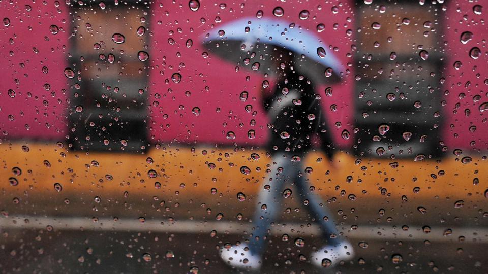
The present wet spell, which started on April 14 over western Himalayan region (Jammu, Kashmir, Ladakh, Gilgit-Baltistan and Muzaffarabad, Himachal Pradesh, Uttarakhand) is likely to reduce significantly during the next 24 hours. Under the influence of a fresh Western Disturbance from April 20, fairly widespread rainfall or snowfall is likely over western Himalayan region during April 20 to 22 and isolated to scattered rainfall along with thunderstorm and gusty winds is likely over adjoining plains of northwest India during the same period.
Also Read | Monsoon 2021: The good and bad news
Hailstorms are also likely over these areas on April 20. Isolated heavy rainfall is also likely over Jammu, Kashmir, Ladakh, Gilgit-Baltistan, Muzaffarabad and Himachal Pradesh on April 21. Dust storm is likely over Rajasthan on April 20.
Under the influence of a trough (area of low pressure) in the westerlies, and a cyclonic circulation over central parts of Assam, supported by moisture feed from Bay of Bengal, scattered to widespread rainfall activity is very likely over northeast India during the next two days along with isolated heavy rainfall over Arunachal Pradesh for two days. Severe thunderstorm activity along with strong gusty winds is also likely over the region during the same period.
In Delhi, no major change in temperature is likely. The maximum temperature is likely to be 37-38 degrees Celsius till April 22.


