Sign in

With GPS, MP to fence its 6,000 mines

The Madhya Pradesh government has decided to check illegal mining by putting its 6,000-odd major and minor mines on a geo-referencing system, officials of the state mineral resources department said on Tuesday.

Published on: Feb 17, 2016, 17:37:05 IST
Hindustan Times | By , Bhopal
Share
Share via
  • facebook
  • twitter
  • linkedin
  • whatsapp
Copy link
  • copy link

The Madhya Pradesh government has decided to check illegal mining by putting its 6,000-odd major and minor mines on a geo-referencing system, officials of the state mineral resources department said on Tuesday.

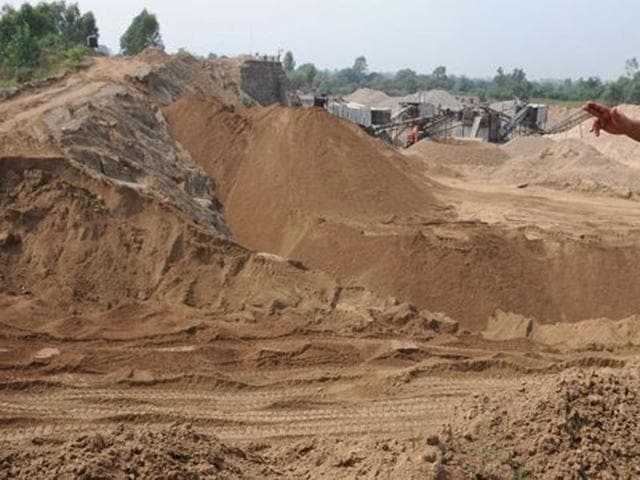
Absence of marked boundaries, especially in the areas where rivers keep changing their course, is the main reason behind illegal mining. (HT file)

Under the system, the boundaries of the mines will be demarcated by five-metre pillars with GPS coordinates, which will be erected every 50 metres along the mine boundaries. This will help map the actual mine position on a day-to-day basis and a physical differential can then help nail an illegal mining activity, officials said, adding a field survey will remain part of the system.

Officials said the absence of marked boundaries, especially in the areas where rivers keep changing their course and difficult terrain, was the main reason behind illegal activities going unchecked.

State mineral resources department IT consultant Krishna Sharma said, “We are soon floating a request for proposal (RFP) for geo-referencing of mines. They will include coal, sand or diamond mines. In the first phase, we will go with 1600 mines and later cover all the 6000 mines.”

He said at least 15 firms would be roped in through the tendering to carry out the job.

Sharma said these companies would be tasked with setting up five metre pillars at a distance of every 50 metres, three metre inside the ground and two metre above the ground along the mind boundaries.

“At each pillar, the GPS coordinates will be marked. The technology is called DGPS or differential global positioning system. After GPS coordinates are fixed, the information will be put on a GIS (geographical information system) map. On this GIS map, we can later add many layers of additional information like name of the present lessee and so on”, he said.

Director mineral resources department VK Austin said that the data generated from the geo-referencing exercise would provide a comprehensive picture of all the mines in the state and help the administration in monitoring the violations in mining areas.

“It will help us to take more stringent measures if we find mining is being carried out outside the sanctioned areas”, he said.

  • Neeraj Santoshi
    ABOUT THE AUTHOR
    Neeraj Santoshi

    Neeraj Santoshi is the Chief of Bureau for Hindustan Times in Uttarakhand, where he leads the state reporting team while covering government, politics, environment, wildlife, Uttarakhand High Court, and issues shaping the Himalayan region. With more than two decades in journalism across conflict zones, he has covered politically sensitive regions and environmentally fragile landscapes, and focused on stories that combine public interest with in-depth storytelling. An alumnus of Pune University with a Master’s in Communication Studies, he has reported extensively from Jammu & Kashmir (2003-2010), Madhya Pradesh (2010 to 2018 ) and Uttarakhand (Since 2018), covering subjects ranging from insurgency, elections and governance to wildlife conservation, mining, climate change, agriculture, human rights and social justice. He has covered politics and legislative assemblies of both Jammu & Kashmir and Madhya Pradesh over more than a decade. Before taking over as Chief of Bureau in Uttarakhand, he served as Special Correspondent with Hindustan Times in Madhya Pradesh and earlier reported for both Hindustan Times and The Indian Express in Jammu & Kashmir, where he covered state politics, environment and insurgency-related developments. Over the years, his stories have focused on environmental degradation, wildlife, illegal mining, governance and the changing social fabric of Himalayan states and Central India. He is particularly interested in long-form explanatory journalism, and stories that explore the intersection of ecology, conservation, governance and society. Outside the newsroom, Neeraj enjoys reading widely on neuroscience, consciousness studies, Artificial Intelligence and quantum physics, with a special interest in Kashmiri Tantric Shaivist traditions. He is also passionate about wildlife, mountaineering and the Himalayas, interests that continue to inform his reporting and deepen his understanding of the region he covers.Read More