
 E-Paper



Fresh western disturbance likely in J&K in coming week: MeT
Since past six weeks, the harshest winter, there wasn’t any major snowfall in Kashmir which has resulted a deficit of rain and snowfall upto 70 to 75% than normal in this period


After scanty of rainfall in first two weeks of February, the MeT office has predicted a Western Disturbance for next week with a hope that it will result in major snow and rainfall.
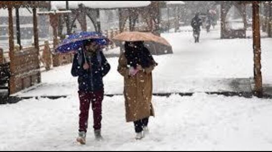
Since past six weeks, the harshest winter, there wasn’t any major snowfall in Kashmir which has resulted a deficit of rain and snowfall upto 70 to 75% than normal in this period. “The rain and snowfall is badly needed. In our streams and rivers the water discharge is very low which could be very harmful in coming months especially during summers,” said Jalal Jeelani an environmentalist.
Zubair Ahmad a weather expert said that after studying the current weather patterns we expect two WD could hit J&K, one in next week and another in the last week of February. “We hope these two WDs bring lot of rain and snow. The earlier WD’s got weakened till they reached J&K which resulted in less rain and snowfall,” he said adding that the first WD which is likely to hit Valley on February 19 could result in more than 40 mm of rain and snow.
MeT office in its daily bulletin said there isn’t any significant activity till Tuesday. “We expect rain and snowfall February 19 onwards. On February 19-20, generally cloudy weather expected with light rain and snow expected at scattered places while Feb 21 and 22 may receive light rain or snow at isolated places,” it said.
Srinagar on Saturday recorded 18.4 degree Celsius day temperature which was 7.8 degrees above normal temperature. Mercury in Srinagar touched a high of 1.7 degree Celsius, 0.4 degrees below normal during intervening night of Friday and Saturday. The ski resort of Gulmarg recorded -3 degree Celsius, 3.6 degrees below than normal temperature. The tourist resort Pahalgam recorded 0.9 degrees Celsius, 2.9 degrees below normal. Winter capital Jammu recorded a high of 10.9 degrees Celsius,during intervening night of Friday and Saturday.


