
 E-Paper



Another chilly day in Delhi, IMD predicts rain ahead
The agency said the minimum will rise by another 2-3°C over the next three days, while the maximum will hover around 22°C-23°C.


Clouds shrouded the sky and obscured the sun on a gloomy Sunday, pushing the maximum temperature down by nearly 6°C and keeping some neighbourhoods locked in “cold day” conditions.
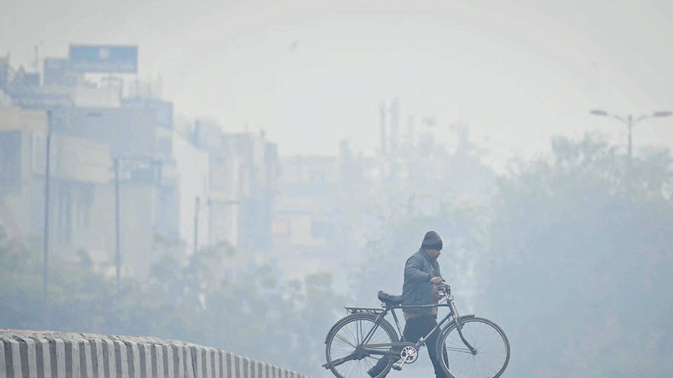
Sunday’s maximum temperature was 18.6°C, three degrees below normal, and a sharp drop from 24°C on Saturday, showed data from the India Meteorological Department (IMD).
A shallow fog also draped the Capital in the morning, even as the minimum temperature increased from Saturday’s 4.3°C to 6°C, three degrees below normal, as an approaching western disturbance brought relatively warmer winds to the city, said the IMD.
The agency said the minimum will rise by another 2-3°C over the next three days, while the maximum will hover around 22°C-23°C.
The Ridge and Mayur Vihar stations recorded “cold day” conditions as the maximum temperature dipped to 16.9°C and 14.6°C respectively.
READ | Trains, flights delayed as cold weather, dense fog wraps Delhi-NCR, Uttar Pradesh, Bihar
IMD defines a “cold day” as one when the maximum is 4.5°C or more below normal, and the minimum is below 10°C.
Delhi will also likely record light rain on January 31 and February 1, with a second western disturbance said to be approaching the plains, IMD said.
“A western disturbance around Jammu and Kashmir is currently influencing parts of the plains and leading to cloudiness. This has led to an increase in minimum temperature as well as a change in wind direction to easterly winds,” said Kuldeep Srivastava, scientist at IMD, adding that the minimum should hover around 7°C over the next two days, before touching 9°C by January 31.
“The second western disturbance is likely to be stronger and will start impacting Delhi from the evening of January 31. This is likely to bring light rain to the plains late on January 31 and in the early hours of February 1,” he added.
The Capital recorded shallow fog on Sunday, with the lowest visibility recorded at 700 metres at Safdarjung at around 7am. It was 1200 metres at Palam.
IMD classifies it as fog when visibility is below 1000 metres, as “shallow” fog if visibility is between 500 and 1000 metres, as “moderate” fog when it is between 200 and 500 metres, as “dense” when it is between 50 and 200 metres and “very dense” when it is below 50.
Forecasts showed that “dense fog” is unlikely in the coming days, with shallow fog likely to persist in the region till the end of the month.
Meanwhile, Delhi’s air quality remained in the “very poor” zone, deteriorating marginally in the last 24 hours. Delhi’s 24-hour average air quality index (AQI) was logged at 365 (very poor) at 4pm on Sunday. It was 357 (very poor) at the same time on Saturday.
Forecasts by the Early Warning System (EWS) for Delhi — a forecasting model under the ministry of earth sciences, showed Delhi’s AQI should remain “very poor” till the end of the month.
Across the national capital region, Gurugram recorded a maximum and minimum of 18.5°C and 7.1°C, respectively, while it was 14.9°C and 6.9°C, respectively, in Noida.


