
 E-Paper



Delhi AQI stays ‘very poor’, app shows hrs of missing data at few gauges
Forecasts show an approaching western disturbance is likely to lead to stagnation once again, with the air quality index (AQI) expected to touch ‘severe’ on Tuesday.

 Prefer HTon Google


The capital’s air quality remained in the ‘very poor’ category for a third straight day on Monday, with favourable meteorological conditions facilitating some dispersion. The 24-hour average air quality index (AQI) stood at 309 (very poor) at 4 pm, when the Central Pollution Control Board (CPCB) released its daily national bulletin. It was 366 (very poor) at the same time on Sunday.
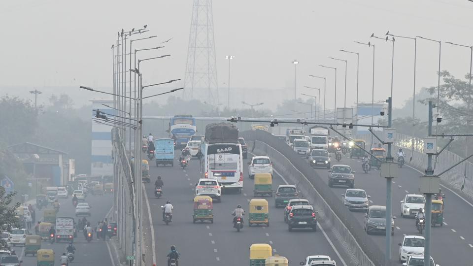
Forecasts show an approaching western disturbance is likely to lead to stagnation once again, with the air quality index (AQI) expected to touch ‘severe’ on Tuesday. This forecast was issued by the Early Warning System for Delhi (EWS) on Sunday, however, no updated forecast was issued on Monday.
The Decision Support System (DSS), which provides a break up of Delhi’s pollution sources, was also not updated on Monday. Both the EWS and the DSS are run by the Indian Institute of Tropical Meteorology (IITM) in Pune. The university did not respond to HT’s requests for comment.
Data from CPCB’s Sameer app also showed some unusual readings. At 9pm, data was available from 38 stations, with two in the ‘severe’ category, the Burari Crossing (404) and Vivek Vihar (401). Three stations were in the ‘moderate’ category with an AQI lower than 200. This included ITO, a busy traffic intersection, where the AQI was just 188. A closer look revealed the station had several hours of data missing before noon. The average AQI at 8am -- largely due to data gaps, was as low as 80 (satisfactory), the app showed.
The EWS bulletin issued on Sunday said that Delhi’s air quality is very likely to be in the ‘severe’ category on Tuesday, before once again returning to ‘very poor’ on Wednesday.
Mahesh Palawat, vice president at Skymet said that winds began to pick up during the day on Sunday, touching 10 km/hr, rising to speeds of 15 km/hr on Monday. “The western disturbance will again lead to a drop in wind speed. It will be almost calm on Tuesday and Wednesday. This, combined with some moisture in the air will lead to a haze and increase pollution again,” he said.
Navdeep Dahiya, another meteorologist, also said the western disturbance will negatively impact AQI – leading to a fresh layer of smog on November 4 and 5 across NCR.
“The western disturbance is expected to bring one spell of moderate rains and thundershowers in parts of Punjab and Haryana on Tuesday night into Wednesday,” he said on X, adding that the chances of rain in Haryana, Delhi, Uttar Pradesh and UP [missing something?] were low. “Strong northwesterly winds are expected to return from November 6 onwards, he said, leading to a possible improvement in AQI as night-time temperature dips by 3-4°C.”
Delhi’s maximum temperature on Monday was 31.5°C and the minimum was 17.2°C, one degree above and two degrees below normal, respectively. The maximum is expected to be between 28-30°C on both Tuesday and Wednesday, due to overcast skies, with a dip of another degree likely from Thursday onwards as cold northwesterly winds return. The minimum is likely to dip below 15°C from Thursday.


Stay updated with all top Cities including, Bengaluru, Delhi, Mumbai and more across India. Stay informed on the latest happenings in World News along with Delhi Election 2025 and Delhi Election Result 2025 Live, New Delhi Election Result Live, Kalkaji Election Result Live at Hindustan Times.


