
 E-Paper



Delhi feels the late evening gust
The India Meteorological Department (IMD) said the impact of the western disturbance was likely to end on Monday


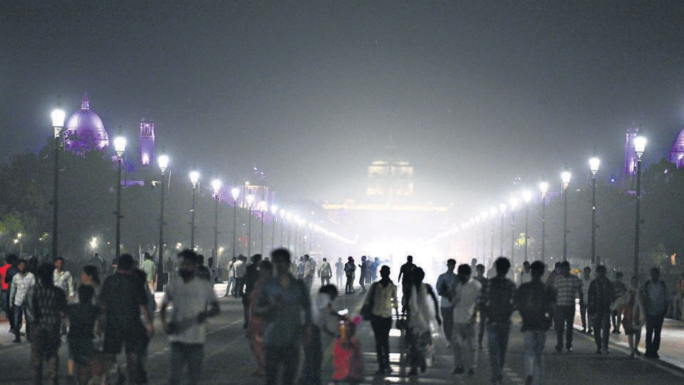
Gusty winds of 50-60 kilometres per hour (kmph) hit the Capital late Sunday evening, despite the weakening impact of a prevailing western disturbance in the region. As of 10.30pm, there was no damage to property nor was there rain recorded in the Capital, despite a yellow alert in place and the prevalence of partially cloudy skies with surface winds of 15 to 20kmph during the day.
The India Meteorological Department (IMD) said the impact of the western disturbance was likely to end on Monday and while cloudiness should persist, an increase in daytime temperature is likely. The maximum temperature is forecast to cross 40 degrees Celsius (°C) this week and may touch 41°C by Wednesday, IMD said.
While no rain was recorded after 8.30am on Sunday till late evening, parts of the city recorded light to moderate rainfall in the 24 hours until 8.30am on Sunday. Delhi’s base station at Safdarjung recorded 12.8mm, while the Palam weather station clocked 3.1mm, Lodhi Road 17.5mm, Mayur Vihar 13.5mm and Ayanagar 2.2mm.
“Delhi saw partially cloudy sky and northwesterly winds of 15-20 km/hr. With the western disturbance weakening, we will start to see a rise in mercury in the coming days. Daytime temperature is expected to cross 40°C once again this week,” an IMD official said in the afternoon.
Delhi’s maximum temperature on Sunday was 37.8°C, which was two degrees below normal. It was 35.9°C a day earlier, when light showers were recorded. IMD data shows the last time Delhi’s maximum was over 40°C was on April 28, when it was 40.4°C.
It has been a fairly wet start to May, owing to two active western disturbances. Delhi has already recorded 90.6mm of rainfall, nearly three times above the long-period average of 30.7mm for May. Last year, only 0.4mm of rainfall was recorded in May.
The bulk of this monthly rainfall, 77mm, was recorded on May 2, which caused waterlogging in parts of the city. This was the second-highest 24-hour spell in May, behind a spell of 119.3mm in May 2021.
According to forecasts, the maximum temperature is likely to hover between 38°C and 40°C on Monday and Tuesday and between 39°C and 41°C on Wednesday. The highest maximum so far this year was 42.1°C, recorded on April 26.
“Dry westerly winds will return from Monday and we can expect a rise in temperature again. A steady rise in maximum temperature by 2-3°C is expected this week,” said Mahesh Palawat, vice president at Skymet.
Delhi’s minimum temperature, meanwhile, was 23.6°C, which was two degrees below normal. It was 25.8°C a day earlier. Nights are set to get warmer too, with the minimum hovering between 25°C and 27°C on Monday and between 27°C and 29°C on Tuesday, IMD said.
Historically, May is Delhi’s warmest month. Last year, May ended with six heatwave days, with the maximum touching 46.8°C at the Safdarjung station on May 29.
The rainfall on Saturday helped improve Delhi’s air quality. Although still in “moderate”, the air quality index (AQI) improved from 189 on Saturday to 158 on Sunday. Forecasts by the Centre’s Air Quality Early Warning System for Delhi (EWS) show AQI is likely to remain ‘moderate’ till at least Wednesday now.


Stay updated with all top Cities including, Bengaluru, Delhi, Mumbai and more across India. Stay informed on the latest happenings in World News along with Delhi Election 2025 and Delhi Election Result 2025 Live, New Delhi Election Result Live, Kalkaji Election Result Live at Hindustan Times.


