
 E-Paper



264 ha of forest land to be diverted for irrigation project in Alibag
Of this, 238 hectares of land will be submerged due to the construction of a metre earthen dam across the Sambarkund River, a tributary of the flood-prone Kundalika river


Mumbai A total of 264 hectares of forest land, equalling 12 Oval Maidans in size, are proposed to be diverted in Alibag by the state irrigation department for the Sambarkund irrigation project, which will provide water to 2,528 hectares of agricultural land in Raigad district.
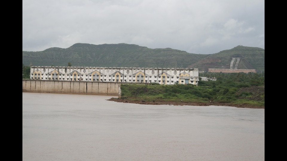
Of this, 238 hectares of land will be submerged due to the construction of a metre earthen dam across the Sambarkund River, a tributary of the flood-prone Kundalika river.
The project will also involve displacement of at least 199 families (1,098 individuals) from three villages -- including 150 adivasi families and 34 scheduled caste families -- who will be relocated on 18 hectares of land in the nearby Ramjar village, per the relief and rehabilitation plan for project-affected persons, accessed by Hindustan Times. The villages include Khairwadi, Jambhulwadi and Sambarkundwadi.
An engineer with the state irrigation department’s Hetawane Project Division, said, “This irrigation project is important to boost agricultural productivity in the region. Farmers across 2,500 hectares will be able to adopt more profitable cropping patterns, grow perennial horticultural crops like coconut and mango, and the cropping area can increase by around 85%. A training centre for farmers in the command area of the dam will also be set up.”
The Sambarkund River originates from a confluence of three natural streams, or nallas coming from a hilly range on the east side of village Mahan, in Alibag. The range separates Pen and Alibag talukas in Raigad. Farmers in 28 villages across Alibag -- who currently do not have any irrigation facility to draw water from the river, and instead rely on rainfall to cultivate crops -- will benefit from this project, including Baple, Chinchoti, Angrav, Beloshi and Mahajane villages. The region can be accessed via National Highway 91, from Alibag.
As per the project’s pre-feasibility report, a copy of which has been reviewed by Hindustan Times, “The area benefited by this Project lies in Alibag taluka... which presently does not have any irrigation facilities. The rainfall in the valley is about 100 to 120 inches during the period between Mid-June to Mid-September. The sub-soil water drains away rapidly as the soil is pervious. In summer there is an acute problem of water. Hence the farmers in this region can cultivate only one crop in monsoon... This irrigation project will help the farmers to have increased production of paddy and grow other crops like fruit and vegetables throughout the year.”
The topography of the area is such that two hilly ridges run parallelly to each other near Mahan village for about 2.5km and before the land suddenly opens out about 1.5km downstream from the village. This is where the submergence area of the dam is proposed.
“The project has already received environmental clearance in 2020. It is a Category B project, so it was cleared by the state environment impact assessment authority. There were delays in applying for forest clearance because we had to conduct a large survey of over 4,000 hectares of land in order to draw up the proposal, and the Covid lockdown happened just the next month after EC was granted,” the official cited above said.
Stay updated with all the Breaking News and Latest News from Mumbai. Click here for comprehensive coverage of top Cities including Bengaluru, Delhi, Hyderabad, and more across India along with Stay informed on the latest happenings in World News.


