
 E-Paper



Maharashtra gets 53% more than average rainfall in March
Northwest India saw pre-monsoon rains due to western disturbances, resulting in excess rainfall in Maharashtra. Konkan was worst hit with 283% more rain than average, affecting mango harvest. Madhya Maharashtra lost grape production due to heavy rains. Marathwada and Vidarbha received below-average rainfall. The India Meteorological Department scientist said the thunderstorms and hailstorms were caused by two opposite winds meeting at one line. Farmers have benefited from accurate forecasts for rabi crops, but damage occurred in some areas due to logistics issues.


PUNE The northwest of India witnessed pre-monsoon rains as a result of numerous western disturbances, according to the India Meteorological Department (IMD). Consequently, Maharashtra also received excess rainfall in March and Konkan was the worst hit due to heavy rainfall.
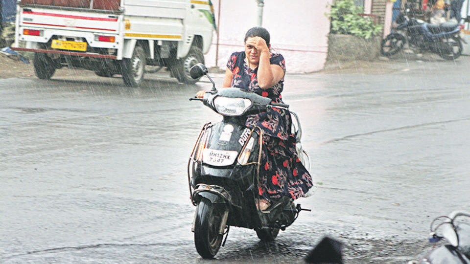
The state receives six millimetres of rain on average in March. This year, 9.20 mm (53 per cent more than average) rainfall was recorded in 30 days of March.
The state has four climatic divisions namely Konkan and Goa, Madhya Maharashtra, Marathwada and Vidarbha. Konkan was hit the most by the thunderstorms which affected mango harvest. The division receives an average rainfall of 1.80 mm in March. This year, it has received 6.90 millimetres, which is 283 per cent more than average.
Also, heavy rains lashed the districts of Madhya Maharashtra, which resulted in the loss of grape production. This climatic subdivision records an average rainfall of 3.20 mm in March. This year, it recorded 5.80 mm (80 per cent more) of rainfall.
Marathwada and Vidarbha meteorological divisions recorded less rainfall as compared to Konkan and Madhya Maharashtra. Vidarbha recorded 52 per cent of the average rainfall (15.80 mm) and Marathwada recorded below-average rainfall.
KS Hosalikar, India Meteorological Department (IMD) scientist, said, “The state witnessed rainfall with thunderstorms and hailstorms. We call it wind discontinuity which means two opposite winds meeting at one line. During this situation, the air will rise and the cloud forms at that point due to moisture existing in the atmosphere leading to thunderstorms and rains. A similar situation we have experienced in Maharashtra. There were cold and dry winds from the Arabian sea and winds from the Bay of Bengal met at one point which resulted in thunderstorms and hailstorms in Maharashtra.’’
”Since rabi crops are sown in many areas of the state during this season, the farmers have profited from our accurate forecast of this scenario. However, in some areas, the damage couldn’t be controlled due to some logistic issues,” said Hosalikar.


