
 E-Paper



PMC completes basic 3D mapping of Baner, Balewadi, Aundh, Shivajinagar
PMC has completed 3D mapping in parts of Pune to enhance disaster preparedness, improve tax assessment, and detect unauthorized constructions.


The Pune Municipal Corporation (PMC) has completed preliminary three-dimensional (3D) mapping of properties in Baner, Balewadi, Aundh and Shivajinagar as part of the National Disaster Management Programme. The initiative, funded by the central government, is aimed at enhancing disaster preparedness, improving property tax assessment, and identifying unauthorised constructions across the city.
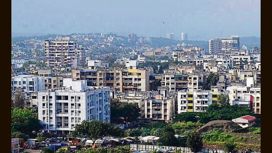
So far, 3D mapping has been carried out in 260 sq km of the city’s total 527 sq km area. The project is being implemented by the PMC’s Disaster Management department in coordination with the Property Tax and Building Permission departments.
The high-resolution 3D maps allow for remote property assessments and better accuracy in identifying building details and encroachments.
Ganesh Sonune, head of the Disaster Management department, said, “The software currently in use will soon be upgraded to integrate seamlessly with the 3D mapping system. This will allow cross-verification with the Property Tax and Building Permission departments.”
He emphasised how 3D mapping helps in predicting and planning for floods more effectively. “With advanced flood modelling and GIS tools, we can identify risk zones, design better flood defences, and ensure timely evacuation. It’s a vital step in saving lives and reducing damage,” he said.
Sonune added that the initiative will strengthen property tax administration and help detect unauthorised constructions. The system will also use historical satellite imagery, including old Google Maps, to identify changes in property layouts. “If discrepancies or unauthorised changes are found, the system will alert senior officials for immediate action,” he said.
Assistant municipal commissioner Kedar Vaze, while confirming that the mapping work for Baner, Balewadi and Shivajinagar has been completed, said, “We are now embedding key property details, such as year of building permission, usage type (residential or commercial), built-up area, and construction type, into the mapped images for precise tagging.”
He further said that with drone-based aerial surveys, the civic body can now accurately map properties, identify unapproved changes, and ensure fair taxation. “It’s helping us to boost revenue and enforce planning regulations effectively,” he added.
The software, estimated to cost around ₹4 crore, is being funded through Corporate Social Responsibility (CSR) contributions and will not place any financial burden on the civic body.
=======================================
How 3D mapping supports property tax enforcement and illegal construction detection:
· Fast aerial surveys: Drones capture detailed images and 3D scans of urban areas.
· Detailed mapping: Property boundaries and structures are accurately recorded and compared with approved plans.
· Change detection: Authorities can spot unauthorized additions or modifications over time.
· Accurate assessments: Reliable measurement of built-up areas ensures fair taxation.
· Illegal structure tracking: Unapproved constructions can be quickly identified and brought under the tax net.
=====================================


