
 E-Paper



Now, find Gurgaon land records online
The Gurgaon administration has digitised all land records of the district and it can now be accessed on the website jamabandi.nic.in


The Gurgaon administration has digitised all land records of the district and it can now be accessed online. Residents of Gurgaon district can now check details of any plot in any of the five tehsils — Gurgaon, Farukhnagar, Manesar, Sohna and Pataudi -- on the website jamabandi.nic.in.
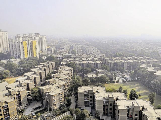
Haryana finance and revenue minister Captain Abhimanyu announced about this while presiding over a division-level review meeting on computerisation of land records at the mini secretariat in Gurgaon on Friday.
An official said the project is aimed at resolving land disputes with more ease. The mapping of Gurgaon was done scientifically with the help of unmanned aerial vehicles with a resolution quality of 5cm.
“Land records dating back to 1957 will now be available to the people with details such as the name of the owner, its location and mutation information. The land registration number can vary because of the transfer of land from one person to another,” a district administration spokesperson said.
The imaging for the project was done by Science & Technology Park, Pune, and the digital reference points that are connected were managed by Haryana Space Application Centre. The district’s information and technology department carried out the data collection.
Earlier, land boundaries, which can now be identified by reference points, were marked with stones that could be removed or would erode naturally.
“But, with digital reference points in place, the administration will be notified if anyone removes or alters them and stringent action will be taken against the person,” the official said.
Areas have been defined as green belts, natural drains and forest land in the digitised land records.
Stay updated with all the Breaking News and Latest News from Mumbai. Click here for comprehensive coverage of top Cities including Bengaluru, Delhi, Hyderabad, and more across India along with Stay informed on the latest happenings in World News.


