
 E-Paper



Cyclone likely to form over Arabian Sea; expect rain, thunderstorms in NW India
This will be the first cyclone of this year and will be called Tauktae meaning gecko (named by Myanmar) when formed. There is a chance that the cyclone may cross the north Gujarat or Kutch area on May 20 but there is large variation among models on its likely track according to scientists


A low pressure area is likely to form over southeast Arabian Sea around May 14 morning. It is likely to move north-northwestwards across southeast Arabian Sea and adjoining Lakshadweep area and intensify gradually into a cyclonic storm over east central Arabian Sea around May 16, according to India Meteorological Department.
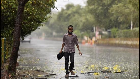
This will be the first cyclone of this year and will be called Tauktae meaning gecko (named by Myanmar) when formed. There is a chance that the cyclone may cross the north Gujarat or Kutch area on May 20 but there is large variation among models on its likely track according to scientists.
Under its influence, heavy to very heavy rainfall is likely at a few places over Kerala and Lakshadweep on May 14 and 15 and also over of Tamil Nadu and south Karnataka on May 15.
Also Read | Heatwave conditions won’t set in till May 18: IMD
Fishermen are advised not to venture out to the southeast Arabian Sea, Maldives, Comorin and Lakshadweep areas, along and off Kerala coast from May 13 morning and east central Arabian sea and along and off Karnataka coasts from May 14, along and off Maharashtra and Goa coasts from May 15.
Those who are at sea are advised to return to coast by night of May 12.
A Western Disturbance as a trough (area of low pressure) is running and a cyclonic circulation is lying over Central Pakistan and adjoining west Rajasthan and an east-west trough running from this cyclonic circulation to Assam.
In addition, there is likely confluence of winds from Arabian Sea and easterly winds at lower levels over northwest India during next 3-4 days. Under the influence these systems, fairly widespread rainfall with isolated thunderstorm or lightning or gusty winds and hailstorm is very likely over Western Himalayan region and scattered to fairly widespread rainfall with isolated thunderstorm over plains of northwest India during the next 3-4 days.
Under the influence of the east-west trough at lower levels and north-south trough over northeast India, widespread rainfall or thunderstorm activity is very likely over northeastern states, West Bengal, and Sikkim; and isolated to scattered rain or thundershower over the rest parts of east India during the next five days.
No heat wave is likely over any part of the country during the next five days.


