
 E-Paper



Light to moderate intensity rain expected in parts of north India
A western disturbance as a trough in middle and upper tropospheric westerlies is also affecting weather conditions in the western Himalayan region

 Prefer HTon Google


NEW DELHI: Light to moderate intensity rain and winds with a speed of 20-40kmph are likely in and adjoining areas of Panipat, Palwal, Aurangabad, Hodal (Haryana), Deoband, Nazibabad, Shamli, Muzaffarnagar, Bijnor, Khatauli, Sakoti Tanda, Chandpur, Daurala, Meerut, Kithor, Amroha, Moradabad, Garhmukteshwar over the next two hours, India Meteorological Department has said.
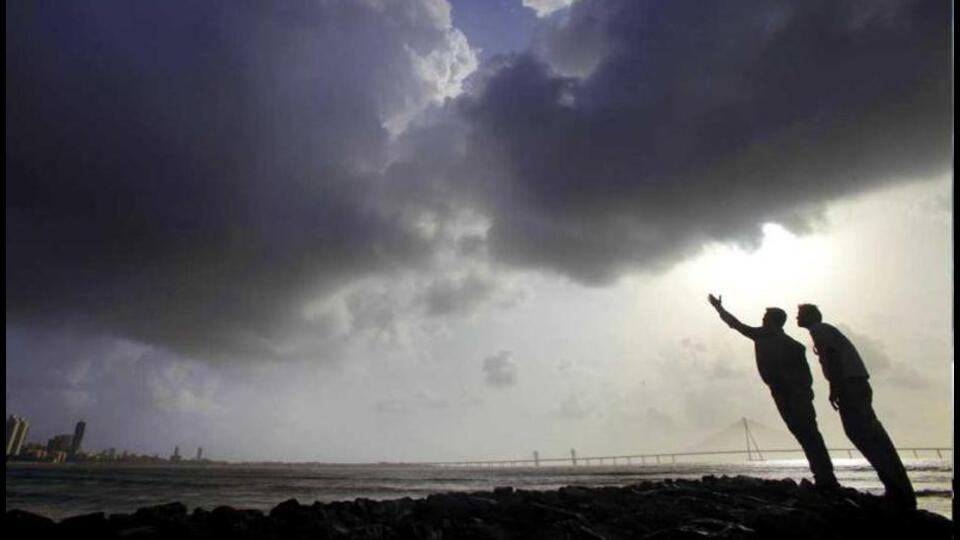
A western disturbance as a trough in middle and upper tropospheric westerlies is also affecting the western Himalayan region. Under its influence, an induced cyclonic circulation has formed over Rajasthan in lower tropospheric levels. It is very likely to cause widespread light to moderate rainfall or snowfall with thunderstorms and lightning in Jammu and Kashmir, Ladakh, Gilgit-Baltistan, Muzaffarabad, Himachal Pradesh, and Uttarakhand.
Scattered to widespread rainfall with thunderstorms and lightning are likely in Punjab, Haryana, Chandigarh, Delhi, Uttar Pradesh, and Rajasthan. Scattered to widespread light to moderate rainfall is likely in West Bengal, Sikkim, Jharkhand. Isolated rainfall is likely in Bihar and Odisha. Dense fog is very likely in isolated and some parts in the night and morning hours in Punjab, Haryana, Chandigarh, Delhi, Uttar Pradesh, Rajasthan, Assam, Meghalaya and Nagaland, Manipur, Mizoram, and Tripura.


