
 E-Paper



Relief from heat: IMD predicts cooler May, excess rainfall in many parts
Weather update: A milder May is expected mainly because of a higher likelihood of thunderstorm activity over several parts of the country.

 Prefer HTon Google


In a reprieve from the punishing heat that has marked much of 2026, May is expected to be milder than usual across most of India, with day temperatures likely to be normal to below normal over most parts of the country, the India Meteorological Department said.
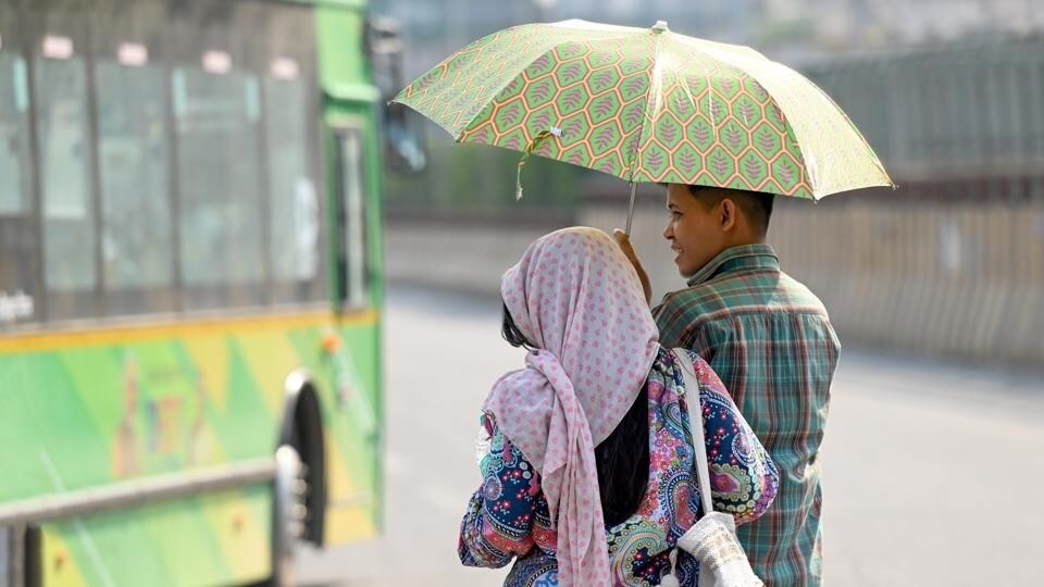
The exceptions are many parts of southern peninsular India, some parts of the northeast and northwest India, where daytime temperatures are expected to be higher. Night temperatures, however, are expected to be above normal across many parts of the country, though parts of northwest India, some parts of central India and adjoining areas of peninsular India, and southern parts of the northeast are likely to experience normal to below-normal minimum temperatures.
The relative cool is expected mainly because of a higher likelihood of thunderstorm activity over several parts of the country and an increased frequency of western disturbances.
Also Read | ‘Opened at least 10 times’: Now BJP alleged wrongful strongroom activities day after TMC's Kolkata faceoff
IMD officials said they have been observing an increase in WDs since March, with moisture incursion from the Arabian Sea strengthening them. “We are expecting more WDs and more thunderstorm activity in May. This is not necessarily linked to the evolving El Nino,” said M Mohapatra, director general, IMD. Rainfall during May, averaged over the country as a whole, is likely to be above normal — exceeding 110% of the long-period average. The LPA of rainfall over the country during May, based on 1971–2020 data, is about 61.4mm. Normal to above-normal rainfall is likely over most parts of the country, except some parts of east and northeast India and east-central India, where below-normal rainfall is expected.
The milder outlook does not, however, mean an absence of heatwaves. Above-normal heatwave days — three to four more than usual — are likely over some parts of the foothills of the Himalayas, especially southern Himachal Pradesh and Uttarakhand, as well as northeast Bihar, east coast states, Gujarat and Maharashtra. “It may become hot and humid over NW India days before monsoon approaches over the region but generally not in May,” Mohapatra said.
IMD’s extended range forecast shows above-normal rainfall activity, especially over east and northeast India, till May 7. Day temperatures are expected to be high over northwest India during the second and fourth weeks of May.
The broader climate picture remains a concern. ENSO-neutral conditions are evolving toward El Niño over the equatorial Pacific, with a 60% probability of El Niño establishing during May, June and July, IMD said.
El Niño conditions are expected to prevail through the monsoon season till the end of the year. El Niño — the warmer phase of the ENSO climate cycle, driven by rising ocean surface temperatures in the equatorial Pacific — typically saps India’s monsoon of rain.
At present, neutral Indian Ocean Dipole conditions are prevailing over the Indian Ocean.
The latest climate models indicate that positive IOD conditions are likely to develop towards the end of the monsoon season.
A positive IOD generally helps enhance the monsoon.
Southwesterly winds are expected to pick up over the Bay of Bengal in the week of May 14–20, IMD’s projections indicate. The monsoon normally arrives over the Andaman Sea around May 20.
April offered a mixed picture. Rainfall over the country was 11% below normal, though northwest India recorded 7.4% excess and central India 17.2% excess.
East and northeast India saw a 10.8% deficit, and the South Peninsula recorded a sharp 51.1% deficiency. It was the seventh-warmest April on record for the South Peninsular region. Seven western disturbances were recorded in April, of which three caused rain over the northern plains as well.
The month saw 10 deaths due to lightning across Andhra Pradesh, Uttar Pradesh, Maharashtra and Odisha; five deaths due to heatwave in West Bengal and Kerala; four due to dust storms in Rajasthan and Uttar Pradesh; two due to hailstorm in Uttar Pradesh; two due to heavy rain in Assam and Maharashtra; and one due to a thunderstorm in Assam.



