
 E-Paper



Rain, snow in Western Himalayas all of March first week: IMD
A fresh Western Disturbance is likely to affect Western Himalayan region from the night of March 2. Another fresh Western Disturbance is likely to affect Western Himalayan region from the night of March 5. Under its influence, scattered to fairly widespread rainfall or snowfall activity is likely over the region from March 6 to 8

 Prefer HTon Google


Consecutive Western Disturbances are likely to bring light snow and rain to the Western Himalayan region till March 7, according to India Meteorological Department (IMD).
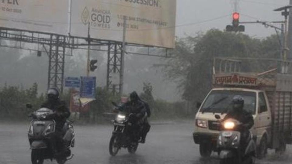
A fresh Western Disturbance is likely to affect Western Himalayan region from the night of March 2. Under its influence, isolated to scattered rainfall/snowfall with isolated thunderstorm/lightning is likely over Jammu, Kashmir, Ladakh, Gilgit, Baltistan, Muzaffarabad, Himachal Pradesh and Uttarakhand on March 3. Another fresh Western Disturbance is likely to affect Western Himalayan region from the night of March 5. Under its influence, scattered to fairly widespread rainfall or snowfall activity is likely over the region from March 6 to 8 with the maximum intensity on March 7. Light rainfall with peak thunderstorm or lightning is very likely over northeastern states during the next 4-5 days.
Also Read | Brace for very hot days and warm nights in NW India this summer
The maximum temperatures are currently 3-6°C above normal over north, west, central, and east India covering Rajasthan, Punjab, Haryana, Chandigarh, Delhi, Uttar Pradesh, Saurashtra & Kutch, Vidarbha, Madhya Pradesh, Chhattisgarh, Odisha, Bihar, Jharkhand and Gangetic West Bengal. They are likely to fall by 1-2°C over northwest & adjoining Central India during the next two days. No significant change in maximum temperatures is expected over the rest of the country.


