
 E-Paper



Tamil Nadu braces for cyclone, NDRF teams on alert
The depression lay centered about 520km east-southeast of Puducherry and 560km south-east of Chennai on Monday. It is very likely to intensify into a cyclonic storm during next the 24 hours, M Mohapatra, director general, India Meteorological Department (IMD), said.

 Prefer HTon Google


Nivar, a severe cyclonic storm, the first one to impact the Indian east coast this season, is likely to make landfall on the Tamil Nadu coast between Karaikal and Mamallapuram on November 25 (Wednesday), with a wind speed of 100 to 110 kmph gusting to 120 kmph, and bring extremely heavy rain (at least 20 cm a day) to Tamil Nadu and Puducherry.
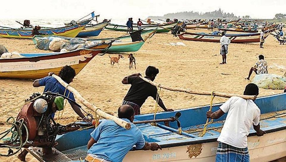
The depression lay centered about 520km east-southeast of Puducherry and 560km south-east of Chennai on Monday. It is very likely to intensify into a cyclonic storm during next the 24 hours, M Mohapatra, director general, India Meteorological Department (IMD), said.
Under its influence, rainfall is likely to increase substantially over south peninsular India from November 23 with widespread rainfall and thunderstorm activity over Tamil Nadu, Puducherry and Karaikal during November 24-26 and over south coastal Andhra Pradesh, Rayalseema and Telangana during November 25-26.
“Nivar is an Iranian name. It is from a list of cyclone names suggested by the 13 north Indian Ocean countries affected by cyclones in the region. Three cyclones have already occurred this year, Amphan, Nisarga and Gati, which made landfall on the Somalia coast on Sunday night,” said RK Jenamani, senior scientist, national weather forecasting centre.
On Monday, cabinet secretary Rajeev Gauba chaired a meeting of National Crisis Management Committee with chief secretaries of Andhra Pradesh, Tamil Nadu and Puducherry to discuss their preparedness in tackling the cyclone.
While the three chief secretaries maintained they are fully prepared to meet any eventuality and that they are in touch with the National Disaster Response Force (NDRF) and other agencies, Gauba emphasised that they must aim at “zero loss of life and early restoration of normalcy in the affected areas”.
“He mentioned that the advisories to fishermen not to go into the sea should be strictly implemented. People living in ‘kutcha’ houses may be advised suitably according to the situation,” said an official press release.
Fishermen are advised not to venture into southwest and adjoining west-central and southeast Bay of Bengal, Gulf of Mannar and along and off Tamil Nadu, Puducherry and south Andhra Pradesh coasts from November 23 to 25. Fishermen out at the sea are advised to return to the coast and avoid the above sea areas.
Tamil Nadu has mobilised NDRF personnel to its coastal regions. Six teams are in Cuddalore, one of the worst affected regions by rains. Two NDRF teams are on standby in Chennai and one in Madurai. Southern Railways cancelled a few train services.
Chennai and districts such as Cuddlaore, Pudukottai and Villupuram are expected to see heavy rainfall when the cyclone makes a landfall, according to IMD.
The state government, too, convened a meeting on Monday to assess precautionary measures put in place. From 1pm on Tuesday, public bus services will be suspended in seven districts. People in low-lying areas have been asked to be evacuated by district authorities. Chief minister Edappadi K Palaniswami urged people to avoid going out during heavy rains and winds.
Medical counselling for undergraduate courses scheduled on Tuesday has been postponed to November 30 due to the cyclone. The health department said that all arrangements will be made for students who have already arrived in Chennai for counselling.
The previous cyclone to make landfall in Tamil Nadu was Gaja (classified as a very severe cyclonic storm) during the northeast monsoon in mid-November 2018. It claimed 46 lives and left a trail of destruction, leaving tens of thousands of people homeless, primarily across 10 districts.


