
 E-Paper



Use geo-spatial tech for cleaning Ganga: Union minister to officials
Satyapal Singh said all work on Geographic Information System (GIS) mapping of the river Ganga should be expedited.


Union minister of state for Water Resources, River Development and Ganga Rejuvenation Satyapal Singh on Thursday asked the officials of National Mission for Clean Ganga (NMCG) to make optimal use of latest geo-spatial technologies to rejuvenate the river.
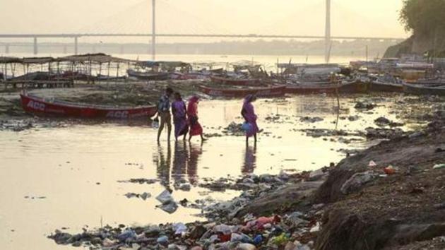
The minister reiterated that all steps to clean the Ganga must be taken up and executed in a time-bound manner.
Singh asked the officials to come up with a water quality monitoring app and work in the direction of developing a water testing kit that could be distributed to people.
He reaffirmed that geo-spatial and crowd-sourcing technologies like Bhuvan Ganga app must be used effectively to evoke a mass movement and as many people as possible should be involved in the clean Ganga movement. He stressed the need to popularise “Namami Gange” programme using such technologies.
“Technology can play the role of a bridge between the government and the people. We should encourage people who are ready to become part of clean Ganga movement and can give incentives to the ones who are doing exemplary work in this field,” he said.
He said that all work on Geographic Information System (GIS) mapping of the river Ganga should be expedited.
Expressing concerns over the pace of work related to use of geo-spatial technologies in Ganga cleaning, the minister exhorted the officials of various departments to sit together and prepare a time frame for their projects.
The National Remote Sensing Centre (NRSC), which is part of the Indian Space Research Organisation (ISRO), has been supporting the NMCG to use geo-spatial technology for water quality monitoring, hydrological monitoring and evaluation, geomorphological monitoring, etc.
The support is aimed at achieving the objective of monitoring of pollution in Ganga. The NMCG also strives to achieve GIS mapping of the entire Ganga river basin for effective execution and decision-making.


