
 E-Paper



West coast, parts of central, north India get heavy rain as monsoon entered vigorous phase
Uttarakhand, Chhattisgarh, Saurashtra, Kutch, Assam, western Rajasthan, Telangana, Tamil Nadu, Puducherry, Karaikal, coastal Andhra Pradesh, and Yanam reported heavy rain (6.4 to 11.5 cm)

 Prefer HTon Google


Nearly all of India’s west coast and parts of central and north India were experiencing widespread and heavy rainfall as the monsoon entered a vigorous phase on Monday. Extremely heavy rainfall (over 20 cm) was reported in parts of Konkan, Goa, and Madhya Maharashtra. Isolated places in eastern Rajasthan, Vidarbha, Madhya Pradesh, Odisha, Gujarat, Kerala, and Karnataka received heavy to very heavy (20 to 6.4 cm) rainfall on Monday and Tuesday, the India Meteorological Department (IMD) said.
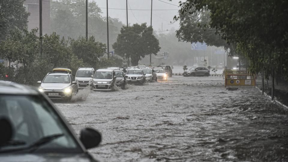
Uttarakhand, Chhattisgarh, Saurashtra, Kutch, Assam, western Rajasthan, Telangana, Tamil Nadu, Puducherry, Karaikal, coastal Andhra Pradesh, and Yanam reported heavy rain (6.4 to 11.5 cm).
A low-pressure area was lying over central Madhya Pradesh and neighbourhood with an associated cyclonic circulation extending up to mid-tropospheric levels. The monsoon trough was active and south of its normal position, IMD said. An off-shore trough at mean sea level was also running from Gujarat to Maharashtra coast and a cyclonic circulation was lying over northwest Bay of Bengal and neighbourhood. Under their influence, widespread rainfall with thunderstorms or lightning was likely in Gujarat, Konkan, Goa, Madhya Maharashtra, Marathwada, Telangana, Coastal Karnataka, Kerala, Mahe, Madhya Pradesh, Vidarbha, Chhattisgarh, and Odisha at least over the next five days.
IMD said active monsoon conditions are likely to continue for the next 10 days due to the likely development of another intense low-pressure system over the Bay of Bengal.
Immediately after the monsoon covered the entire country on July 2, six days in advance, a low-pressure area formed over Odisha on July 3, which has helped enhance monsoon activity. “There are active monsoon conditions over the entire country and this will persist for the next 10 days as per model forecasts. Whenever a low-pressure area forms over the Bay of Bengal or over Odisha and moves west north-westwards, there is widespread and heavy rain all along its path. Another strong system is likely to develop over the Bay of Bengal after the present one moves away. In fact, the forecast is that low-pressure systems and circulations are likely to form one after another this month. So, the rain outlook is good,” said IMD director general M Mohapatra.
Skymet Weather vice president Mahesh Palawat said the low-pressure area that formed over Odisha is now over Madhya Pradesh and is likely to move further westwards and reach south Gujarat on Wednesday or Thursday. “So, on June 7 and 8, there can be extremely heavy rains in parts of Maharashtra including Mumbai and Gujarat. This can cause flooding. Another low-pressure area likely to form will also take the same track and bring rain to the west coast and central India. When low-pressure systems travel west, they activate the monsoon surge over the west coast. The monsoon trough is also to the south of its normal position now which also causes heavy rain in central India. Around June 11, when the trough starts shifting northwards, rain will resume in Uttar Pradesh, Punjab, Haryana, and Delhi.”
The latest global model forecasts indicate that the prevailing La Niña conditions are likely to continue over the Equatorial Pacific Ocean. There is enhanced possibility of development of negative Indian Ocean Dipole (IOD) conditions over the Indian Ocean from July to September. As sea surface temperature conditions over the Pacific and the Indian Oceans are known to have strong influence on Indian monsoon, IMD is carefully monitoring the evolution of sea surface conditions over these Ocean basins.
La Nina refers to the large-scale cooling of surface temperatures in the central and eastern equatorial Pacific Ocean, coupled with changes in the tropical atmospheric circulation (winds), pressure and rainfall. It occurs every two to seven years.
In India, La Nina is associated with strong monsoon and above average rainfall, and colder winters. IOD is the difference between the temperature of the ocean in two parts — in the Arabian Sea on the west and the Bay of Bengal in the east. A neutral IOD does not affect the monsoon, but a negative one is bad news.



