
 E-Paper



Land-levelling delays opening of Eastern Freeway ramps in Mumbai
By the end of February, motorists travelling between south Mumbai and areas like Sion, Kurla, Ghatkopar, and Wadala will be able to get onto the freeway easily, without taking a detour


The opening of the long-awaited south-bound ramps on the Eastern Freeway in Wadala has been delayed further owing to issues with levelling of land on which the connecting road to these ramps will be constructed. By the end of February, motorists travelling between south Mumbai and areas like Sion, Kurla, Ghatkopar, and Wadala will be able to get onto the freeway easily, without taking a detour.
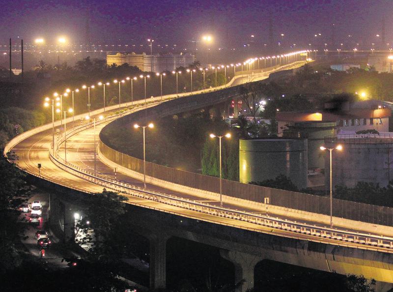
With land-levelling work reaching a stage when a tar road can be constructed, Mumbai Metropolitan Region Development Authority (MMRDA) officials said the ramp will soon be thrown open to the public. The road will connect these ramps with Wadala Truck Terminus (WTT) Road.
These ramps were supposed to be opened in December 2013. However, difficulties in levelling of the marshy land and unseasonal rain last monsoon slowed down construction.
“Since there were some difficulties, we used various techniques like bend-draining, stone-walling to level the marshy land. If the land is not well settled, the road may form potholes and uneven patches soon after being opened,” said an official, on condition of anonymity because he is not authorised to speak to the media.
At present, commuters have to take a creek bridge at Anik Junction and go almost 1.5km in the opposite direction towards Panjarpol and then take a U-turn under the RCF flyover to go to south Mumbai.
According to an MMRDA official, the land will be settled completely in the next two to three years. “Once the land is settled completely, we may construct a concrete road,” said the official.
Stay updated with all the Breaking News and Latest News from Mumbai. Click here for comprehensive coverage of top Cities including Bengaluru, Delhi, Hyderabad, and more across India along with Stay informed on the latest happenings in World News.


