
 E-Paper



Pune Municipal Corporation to finish land mapping for inner ring road by May-end
Once this stage of the land mapping is completed, the officials will have a clear idea as to how much portion of government land will be used and what other land will need to be acquired


The Pune Municipal Corporation’s (PMC) high capacity mass transit route project finally appears to be gaining momentum as the officials of civic body have already begun the process of land mapping and they intend to complete it by the end of May.
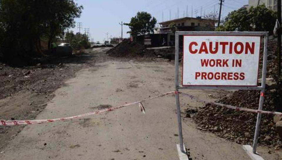
Senior officials of the PMC on the condition of anonymity, said, “We have already begun the process of land mapping for the project which is also known as the inner ring road. The project has the potential to solve the traffic chaos in the city and we are now working on a war footing to complete it.”
Once this stage of the land mapping is completed, we will have a clear idea as to how much portion of government land will be used and what other land will need to be acquired by us, said officials, adding that the immediate work after mapping is to commence the process of land acquisition required for the execution of the project.
The inner ring road will be completely elevated and the route will be 36km in length with a width of 24m. For implementing the project, 77 hectares is required, and out of it, 35 hectares is already in PMC’s possession.
The PMC had included the inner ring road project in its development plan in 1987. The consultant will help in the financial planning of the project. The total project cost is expected to be Rs 5,096 crore, out of which Rs 1,550 crore will be used for land acquisition.
Out of the few major projects undertaken by the PMC in the city, the pending work for the inner ring road project was stuck as the model code of conduct had come to effect on March 10.
However, the civic body is likely to seek permission from the Election Commission of India to allow the clearance of few pending files related to the project.


