
 E-Paper



Mapping tool helps citizens compute mangrove loss due to coastal road
The mapping tool demarcates clearly the alignment of the road through residential and commercial areas, creeks and green patches

 Prefer HTon Google


Mumbai: Urban researcher and geospatial analyst Abhijit Ekbote, 50, has developed a mapping tool that citizens can access freely to assess mangrove loss due to the proposed Versova–Dahisar Coastal Road, which will require the felling of at least 45,000 mangroves as per estimates by the Brihanmumbai Municipal Corporation (BMC).
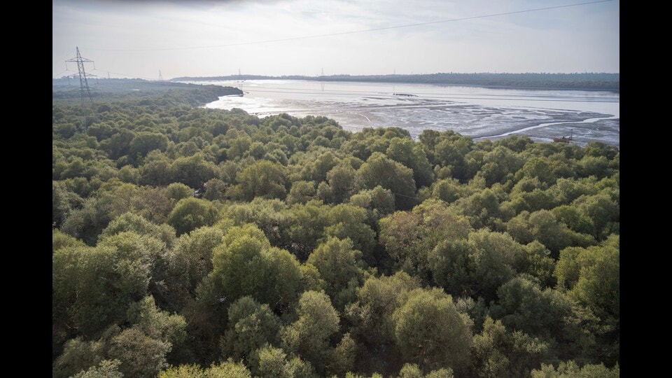
Hosted on CityResource.in – a website that makes archival maps, data and spatial tools accessible for communities, researchers and planners – the mapping tool demarcates clearly the alignment of the road through residential and commercial areas, creeks and green patches. It also allows users to select a stretch of the road, measure the area it will impact, and compute the number of mangroves that would need to be axed.
“For citizens, there is no way barring this mapping tool to understand the alignment of the road on the ground,” Ekbote told Hindustan Times, explaining the rationale behind the initiative which was completed last week.
The proposed Versova–Dahisar Coastal Road is part of a high-speed vehicular corridor along the city’s western seafront aimed at easing congestion on arterial roads. The project will involve large-scale land reclamation, shoreline modification, and construction through ecologically sensitive coastal stretches, including mangrove forests that act as natural flood buffers and biodiversity zones.
The mapping tool, Ekbote said, emerged from frustration with inaccessible planning documents and maps pertaining to the coastal road that were released without any spatial reference. It combines satellite imagery with transparent overlays and exportable data, transforming maps of the proposed road released by the BMC into localised, actionable information.
“The tool is all about making environmental damage visible,” he said.
Stalin Dayanand, director of the nonprofit Vanshakti who has worked extensively on mangrove conservation, said the tool exposes clearly what official narratives conceal.
“The map shows that the scale of mangrove destruction will be far greater than acknowledged. It also reveals that real estate firms eyeing coastal land under the guise of ‘development’ stand to gain from the project,” Stalin said.
Ekbote has, over the past decade and a half, created similar mapping tools to analyse flooding hotspots, development plans, and changes in forest cover due to infrastructure projects. These have helped citizens adopt a more informed approach to urban planning and environmental degradation, he said.
Satyajit Chavan, a resident of Anand Nagar in Dahisar, concurred, saying he understood clearly how concretisation of the banks of Dahisar river had left only a narrow channel for water to flow and made the area flood-prone only when he came across the flood map prepared by Ekbote.
“With mangroves in the Dahisar–Kandarpada creek belt being cleared for the coastal road, the situation is likely to worsen, especially in low-lying areas,” Chavan said.
How to use the map
1. Visit https://cityresource.in/coastalroad to access the tool, and view the alignment of the road on ground
2. Use the line tool on the left to trace a particular stretch of the road and download the data in geojson format
3. Feed the data into QGIS to measure the length of the selected portion of road, and multiply this length by 50
4. Compute the actual number of mangroves lost, considering an average of 3,500 mangroves per hectare

Stay updated with all the Breaking News and Latest News from Mumbai. Click here for comprehensive coverage of top Cities including Bengaluru, Delhi, Hyderabad, and more across India along with Stay informed on the latest happenings in World News.


