
 E-Paper



Lucknow Development Authority to roll out GIS mapping system
In a bid to ensure uniformity in zonal development plans prepared by development authorities, the housing development board has made various changes in by-laws.


Lucknow: The Lucknow Development Authority (LDA) will soon roll out the Geographical Information System (GIS) mapping system to check illegal constructions across the city.
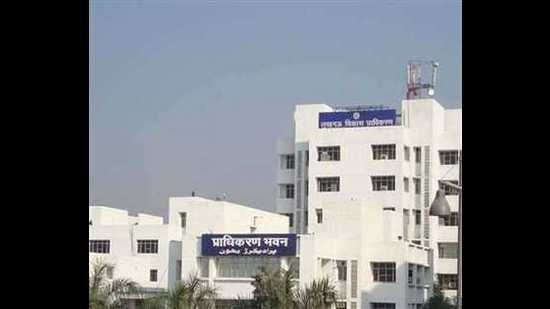
Presiding over a meeting on GIS based ‘One Map’ system on Friday, Pawan Gangwar, secretary, LDA, reviewed the ongoing process of superimposition of development authority’s master plan for Lucknow, ‘shajra map’ and satellite images.
The LDA secretary directed officials to go through the land audit carried out by the development authority in 2016 under the Uttar Pradesh Nagar Yojana and Vikas Adhinayam, the all development authorities are required to make their zonal development plans.
In a bid to ensure uniformity in zonal development plans prepared by development authorities, the housing development board has made various changes in bylaws. Now, using GIS tool is also a part of these changes.


