
 E-Paper



Around 1.8% land in Maharashtra ‘very highly’ susceptible to landslides: Study
The vulnerable areas in the state are located at Sahyadri mountain ranges part of the Western Ghats. Rainfall-induced landslides are more common in districts like Ratnagiri, Raigad, Sindhudurga, Satara, Sangali, and part of Pune district

 Prefer HTon Google


In Maharashtra, roughly 1.8% of the land falls under the “very highly” susceptible category and 3.1% is “highly susceptible” to landslides, according to a study carried out by the researchers at the Hydrosense Lab, department of civil engineering, Indian Institute of Technology (IIT), Delhi.
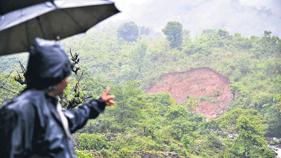
The vulnerable areas in the state are located at Sahyadri mountain ranges part of the Western Ghats. Rainfall-induced landslides are more common in districts like Ratnagiri, Raigad, Sindhudurga, Satara, Sangali, and part of Pune district.
The researchers have developed a national-scale artificial intelligence (AI)-based landslide susceptibility map that they claim is the first of its kind covering India. The Indian Landslide Susceptibility Map (ILSM) has a spatial resolution of 100 metres with over 95% accuracy. Spatial resolution refers to the size of the smallest feature that can be detected by a satellite sensor or displayed in a satellite image.
The map classifies 13.17% of the geographical area of India as susceptible to landslides, with 4.75% as “very highly susceptible” to landslides. The study states that 50% of the areas in Sikkim and Uttarakhand come under the “very high susceptibility” zone. The map has identified new landslide-prone zones in the eastern ghats that were not reported by any previous model or government records.
The lead author of the research paper, published in the latest issue of journal Catena, is Nirdesh Sharma, a PhD student at the department of civil engineering, IIT Delhi. The co-authors are Manabendra Saharia, assistant professor at the department and Yardi School of Artificial Intelligence, IIT Delhi; and GV Ramana, professor at the department.
“To mitigate the damage due to landslides and landslide susceptibility, we need comprehensive and efficient landslide susceptibility maps, which can be used for early warning systems as well as monitoring of vulnerable areas,” said Saharia.
Methodology
The model is developed using a historical landslide inventory of more than 150,000 events in India, including data covering all past landslides as per the government records. The researchers used the Ensemble Machine Learning approach, where the results of multiple machine learning models are combined to enhance overall accuracy. They used earth observation data from satellite imagery and ground data to develop the 100-metre, high-resolution map. The map can be used in disaster management, urban planning, infrastructure development, insurance, and risk assessment. It can help identify the areas that need more attention and intervention to prevent or mitigate the impact of landslides.
Factors
A complex interaction of topography, vegetation, rainfall, and man-made disturbances such as roads, etc., causes rainfall-induced landslides. The map model incorporates 16 landslide conditioning factors such as height, slope, soil composition, road distance, river proximity, vegetation cover, precipitation, etc. These factors significantly influence landslide occurrence or susceptibility in a particular region or place.
India accounts for 8% of global landslide fatalities. From 2001 to 2021, India’s average annual landslide deaths stood at 847, and the average financial losses amounted to more than ₹2,000 crore.
Focus on Maharashtra
The ILSM study revealed most of the vulnerable areas in Maharashtra is located at Sahyadri mountain ranges which is part of the Western Ghats. Rainfall-induced landslides are more common in these areas, including districts like Ratnagiri, Raigad, Sindhudurga, Satara, Sangali, and part of Pune district.


