
 E-Paper



Maha to measure and map subdivided land plots; 18 talukas selected for pilot
The initiative comes in response to long-standing discrepancies between the 7/12 land extract (a crucial land ownership document in Maharashtra) and official land maps.


PUNE: In a bid to streamline land ownership records, the Maharashtra land records department has launched a project to measure and map subdivided land plots (sub-holdings) across the state. As part of the pilot, 18 talukas have been selected where the measurement and mapping work will be carried out with the help of private agencies. The tendering process to appoint these agencies is currently underway.
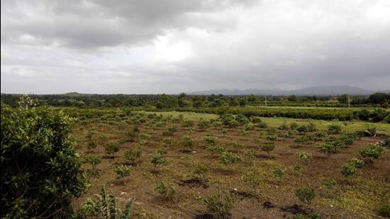
The initiative comes in response to long-standing discrepancies between the 7/12 land extract (a crucial land ownership document in Maharashtra) and official land maps. Over the years, as families expanded and inherited land was divided among heirs, a large number of informal subdivisions took place without corresponding updates in government records. Often, these sub-plots exist in practice but are neither reflected in the official maps nor in the 7/12 extract, causing serious challenges in legal ownership, construction, and transactions involving land.
Suhas Diwase, state commissioner of land records and settlement commissioner, said, “In the first phase, around 4.77 lakh land survey numbers across the selected talukas will be physically measured and their records updated. A draft set of operational guidelines has already been developed on how the measurement will be carried out, how technical challenges will be addressed, and how many surveyors and how much manpower will be required for the task. The final guidelines and standard operating procedures (SOPs) will be framed after analysing the practical implementation and resolving any technical hurdles that arise during the pilot.”
“We have undertaken this initiative to measure and map individual sub-plots under each survey number, based on actual ownership as seen on the ground similar to what was done under the SVAMITVA scheme. This will significantly help in updating the land records,” Diwase said.
“The department has divided the pilot into six administrative regions, and private agencies will be appointed separately for each region. These agencies will operate under the supervision of government officials to ensure accuracy and transparency,” Diwase informed.
The 18 talukas featured in the pilot have been selected from the six divisions in the state from 18 different districts such as Pune, Palghar, Raigad, Thane, Solapur, Sangli, Dhule, Jalgaon, Chandrapur and Kolhapur among others.
With families having expanded over time, resulting in extensive subdivision of land holdings, the new owners’ names may appear in the 7/12 extract but the corresponding maps are either outdated or missing. In many cases, land is being used and shared based on informal subdivisions without official recognition, making it difficult to undertake construction or apply for loans. Even when partition of land has taken place among family members, physical boundaries on the ground have not been surveyed and marked officially. This disconnect has left landowners without proper documentation or legal clarity, leading to disputes and developmental delays.
“To resolve this, the department aims to bring parity between the textual records (7/12 extract) and spatial records (cadastral maps), making them legally and practically reliable. The measurement work is expected to begin in the next month after the appointment of the private agencies. The exercise is expected to streamline land administration, reduce disputes, and boost rural development and real estate activity in the long term,” Diwase said.
Currently, land records include maps and dimensions of original land parcels listed under the owners’ names. However, over time, these parcels have often been divided among family members, with each wanting a separate registration in their name. This process is called the subdivision of land parcels. It may be noted that the names of the beneficiaries along with the areas are noted in the ‘rights’ section of the 7/12 record of rights but there is no separate map or dimensions noted or shared.
This lack of precise mapping often leads to disputes among family members, especially when one of them attempts to sell his/her share of the land to a third party. Confusion over boundaries frequently results in conflicts, legal cases, and even criminal complaints. Farmers cannot avail government schemes and loans based on the current situation without mutual consent which also acts as a tool for harassment. The department has therefore decided to ensure that the dimensions of such subdivisions are in place and a map is also given to the members.
“With proper maps and individual records in place, landowners will have exclusive rights to develop, trade, and access government schemes independently for their land parcel/s. The process involves community engagement, verification of land records, and the use of drones to survey and map the land. The maps will be finalised in consultation with the stakeholders before being officially issued,” concluded Diwase.


