
 E-Paper



After delayed onset, monsoon set to cover country a week in advance
The southwest monsoon has further advanced into remaining parts of north Arabian Sea and some more parts of Rajasthan on Wednesday.

 Prefer HTon Google


The southwest monsoon, despite a delayed onset and weak start, is now expected to cover the entire country over the next two-three days, nearly a week before its expected date, the India Meteorological Department (IMD) said on Wednesday.
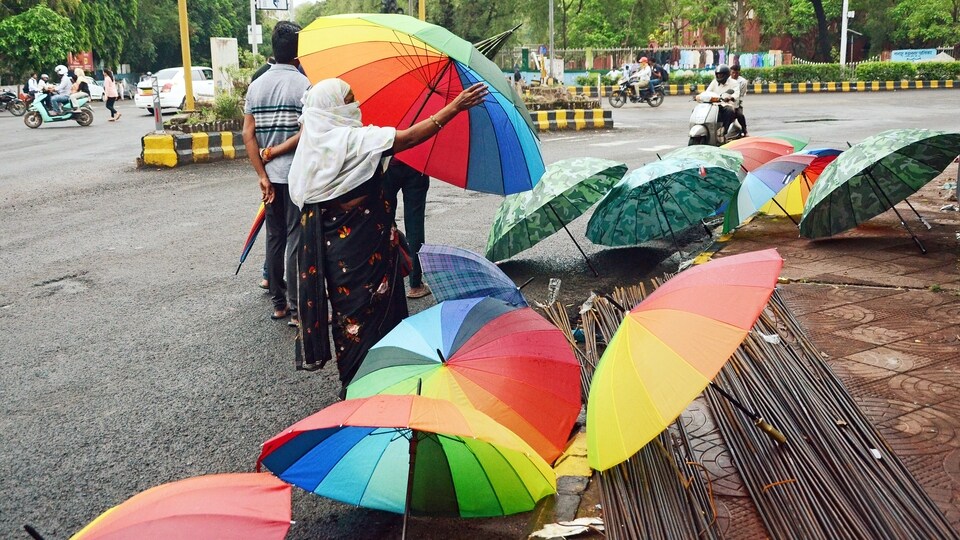
If the predictions come true, the monsoon would have taken only 22 days to cover the entire country, even after its onset over Kerala was delayed by a week.
The southwest monsoon has further advanced into remaining parts of north Arabian Sea and some more parts of Rajasthan on Wednesday, IMD said in its bulletin. The Northern Limit of Monsoon (NLM) now passes through Bikaner (Rajasthan), Narnaul (Haryana) and Firozpur (Punjab).
Read | Himachal gets 119% excessive rains in a week
“Conditions are favourable for further advance of Southwest Monsoon into remaining parts of the country (i.e. remaining parts of Rajasthan, Haryana and Punjab) during the next 2-3 days,” IMD said.
The low pressure area is now lying over northeast Madhya Pradesh and neighbourhood. It is very likely to move west-northwestwards towards northwest Madhya Pradesh during next two days, the IMD said. “An east-west trough is running from northwest Rajasthan to northeast Bay of Bengal across the centre of low pressure area in lower tropospheric levels,” it said.
The off-shore trough at mean sea level is running from Maharashtra coast to Kerala coast and a cyclonic circulation is also lying over south Gujarat coast, the IMD added.
Read | Monsoon delights: 6 lip-smacking snacks to savour during rainy season
“The synoptic conditions are favourable for early coverage of monsoon over entire country,” DS Pai, senior scientist, IMD, said. “We know that monsoon conditions were weak initially because Cyclone Biparjoy had pulled away all convection and moisture. But in the past two-three days the Bay of Bengal branch became very active. This is also because a remnant of Cyclone Biparjoy over Uttar Pradesh started pulling the winds from Bay of Bengal.”
There was early onset of monsoon over Uttarakhand and Himachal Pradesh and the two states have witnessed a lot of rain, he said.
“The low pressure area over north Bay of Bengal also helped strengthen the Arabian Sea branch. There was good progress over Gujarat and Maharashtra,” Pai said. “Only a small area over Rajasthan is left to be covered. It’s anyway a very arid region so a small amount of rain can help cover the region.”
The senior scientist pointed out that the early monsoon coverage of the entire country is not unusual.
“It has covered as early as June 19 in the past. The trends have changed and hence we had to advance the date of full coverage from July 15 to July 8 in 2020,” he added.
Meanwhile, as on Wednesday, there was a 16% rain deficiency over the country, with 21% deficit over east and northeast India, 45% over south peninsula and 17% deficiency over central India, the IMD said. The northwest India, however, has received 42% excess rainfall so far.
“Monsoon covered almost entire country except northwest Rajasthan and western parts of Punjab and Haryana. [It] may cover these parts in next 24 to 48 hours,” Mahesh Palawat, vice-president, climate and meteorology, Skymet Weather, said in a tweet. “Despite late onset, monsoon may cover entire country well in advance. Normal date is July 8.”



