
 E-Paper



Dense fog reported from most northern states; temperature likely to drop
Due to the change in wind direction, minimum temperatures are likely to fall by 2 to 4°C during the next three days, leading to cold wave conditions


Delhi woke up to very dense fog on Tuesday morning with less than 50 m visibility at Safdarjung and Palam.
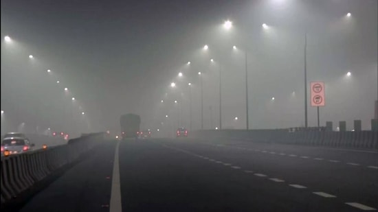
Dense to very dense fog is also affecting other northern states with Amritsar, Ganganagar, Patiala, Jaisalmer, Agra, Gorakhpur recording visibility of less than 25m each; and Bikaner, Churu, Sultanpur, Varanasi, Bhagalpur, Purnea, Patna and Gaya at less than 50m visibility, according to India Meteorological Department (IMD). Fog layer causing less than 50m visibility is categorised as very dense fog by IMD.
Delhi’s Safdarjung recorded minimum temperature of 8.6 degrees C at 5.30am. Wind direction is likely to have changed from easterly to westerly/northwesterly over northwest India from Monday night. Due to the change in wind direction, minimum temperatures are likely to fall by 2 to 4°C during the next three days, leading to cold wave conditions in isolated pockets over eastern Uttar Pradesh, Punjab and Haryana, Chandigarh and Delhi from January 18 to 20 and over western Uttar Pradesh and northern Rajasthan from January 19 to 21, according to IMD’s Monday bulletin.
Dense to very dense fog is likely over parts of Punjab, Haryana, Chandigarh, Delhi, Uttar Pradesh, north Rajasthan, Bihar and Odisha during the next 24 hours. Cold day conditions are also likely in isolated pockets over Punjab, Haryana, Chandigarh, Delhi, Uttar Pradesh and Bihar during the next two days.
A fresh Western Disturbance is likely to affect the western Himalayan region from January 22 that is likely to cause widespread rain or snow in the region on January 23 and 24, and isolated rain/thundershower over the adjoining plains of northwest India during January 23 and 24.
According to IMD, a cold day or a severe cold day is classified as such based on two parameters—a minimum temperature of under 10 degrees C and maximum temperature of 4.5 degrees C or 6.4 degrees C below normal, respectively.
A cold wave occurs in the plains when the minimum temperature is 10 degrees Celsius or below and/or is 4.5 notches lower than the season’s normal for two consecutive days. A cold wave is also declared when the minimum temperature is less than 4 degrees C in the plains.


