
 E-Paper



Many parts of peninsular India to experience rain for next 4-5 days
Monsoon withdraws completely from the country by October 15, according to the new monsoon onset and withdrawal dates released by IMD in April

 Prefer HTon Google


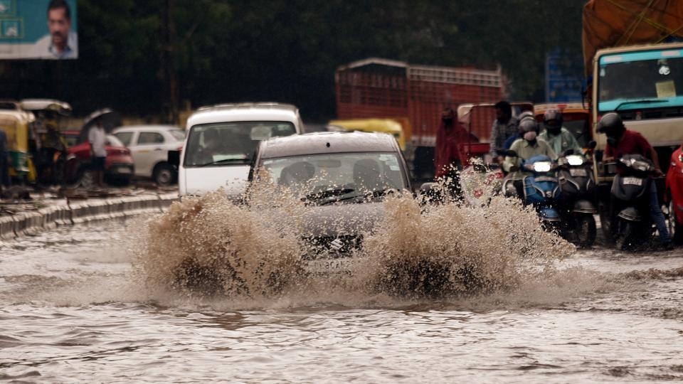
Peninsular India is likely to record widespread rain with thunder and lightning for the next four to five days, India Meteorological Department (IMD) said in its bulletin on Monday night.
A low-pressure area is lying over east-central Arabian Sea off the Karnataka coast with an associated cyclonic circulation. It is likely to weaken over the same region during the next 24 hours.
Also read: South India to witness extreme rainfall by end of this century, says IIT study
An east-west shear zone -- a zone of change in wind direction and velocity -- is running across the cyclonic circulation associated with the low-pressure area. The cyclonic circulation is likely to persist during the next three-four days. Under its influence, widespread rainfall and thunderstorm with lightning is very likely over peninsular India during the next four-five days.
Heavy rainfall at isolated places is also likely over Karnataka and Kerala and Mahe until Friday (September 11); over Tamil Nadu, Puducherry and Karaikal until Wednesday (September 9). Very heavy rain is likely over coastal Karnataka between Tuesday and Thursday and over Kerala and Mahe on Tuesday.
The western end of the monsoon trough at mean sea level is lying near its normal position and its eastern end lies north of its normal position. The eastern end of the monsoon trough is likely to be north of its normal position or along the foothills of the Himalayas during the next five days, IMD said.
Widespread and heavy rainfall is likely at isolated places over sub-Himalayan West Bengal, Sikkim and the north-eastern states until Friday (September 11).
Rainfall is likely to be deficient at least until September 13 in most parts of the country, including north-west and central India, before intensifying after September 17, according to IMD’s extended range forecast.
Above normal rains are expected over coastal Karnataka, Kerala and Maharashtra after September 17.
The normal date for the monsoon to begin retreating is September 17.
Monsoon withdraws completely from the country by October 15, according to the new monsoon onset and withdrawal dates released by IMD in April.
Until last year, the corresponding dates were September 1 and October 15.
The new onset date is based on an analysis of the monsoon data from 1961 to 2019 and the withdrawal date on the basis of the data from 1971 to 2019 by scientists at IMD in Pune.


