
 E-Paper



Monsoon progress likely to pick up between June 27 and June 30
Subdued rainfall activity is likely to continue over northwest India till June 27 and due to a gradual establishment of easterly winds and straightening of monsoon pattern over the country, a fresh spell of rainfall is likely over the region during the period


Monsoon progress is likely to pick up between June 27 and June 30 and advance to most parts of northwest India outside west Rajasthan, India Meteorological Department (IMD) said in its two-week forecast on Thursday.
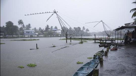
Subdued rainfall activity is likely to continue over northwest India till June 27 and due to a gradual establishment of easterly winds and straightening of monsoon pattern over the country, a fresh spell of rainfall is likely over the region during the period. During the week ending June 30, rainfall is likely to be normal over some pockets of northwest India except parts of western Himalayan region where it is likely to be normal to below normal.
Due to a likely strengthening of westerly winds and off-shore trough along west coast towards end of month, widespread rainfall with isolated heavy falls is likely along the west coast. Rainfall is likely to be near normal in the remaining parts of the country outside northeastern states and extreme southern parts of southern Peninsular India, where it is likely to be below normal.
Between June 1 and June 16, overall rainfall is 33% above normal over the country.
Also Read | As rains approach, Delhi steps up measures to check dengue
The northern limit of monsoon (NLM) is passing through Diu, Surat, Nandurbar, Bhopal, Nowgong, Hamirpur, Barabanki, Bareilly, Saharanpur, Ambala and Amritsar.
Large-scale atmospheric conditions are not favourable for further advance of monsoon into Rajasthan, remaining parts Punjab, Haryana and Delhi till June 27. However, there could be slow progress into some more parts of Gujarat state and Uttar Pradesh during the next 2-3 days.
A cyclonic circulation is lying over Gangetic West Bengal and neighbourhood. Under its influence, widespread rainfall with isolated heavy to very heavy rain is likely over Bihar, Jharkhand, West Bengal, Sikkim and north Odisha during the next 2-3 days.
A cyclonic circulation is also lying over east Uttar Pradesh & its neighbourhood. Under its influence, fairly widespread rainfall with isolated heavy to very heavy falls is very likely over east Uttar Pradesh during the next 2-3 days.
An offshore trough (line of low pressure) is running from south Gujarat coast to north Kerala coast. Under its influence, widespread rainfall with isolated heavy to very heavy falls is very likely over Konka, Goa and Madhya Maharashtra during the next 2-3 days; and over Karnataka, Kerala & Mahe during the next two days. Isolated extremely heavy rain (over 20cm) is also very likely over Konkan, Goa and Madhya Maharashtra during the next 24 hours.
A western disturbance is running from north Jammu & Kashmir to northeast Arabian Sea. Under its influence, fairly widespread rainfall with isolated heavy to very heavy falls with isolated extremely heavy rain is very likely over Uttarakhand during the next 24 hours.


