
 E-Paper



Rain, hailstorm likely in parts of northwest India, says IMD
Due to likely south-easterly winds over Northwest and Central India, minimum temperatures are likely to rise gradually by 3-5 degrees C in most parts of Northwest and Central India during the next 4-5 days.

 Prefer HTon Google


An intense western disturbance is likely to hit the Western Himalayan region and adjoining plains from January 3 and cause light to moderate snowfall from January 3 to 6, the India Meteorological Department (IMD) has said.
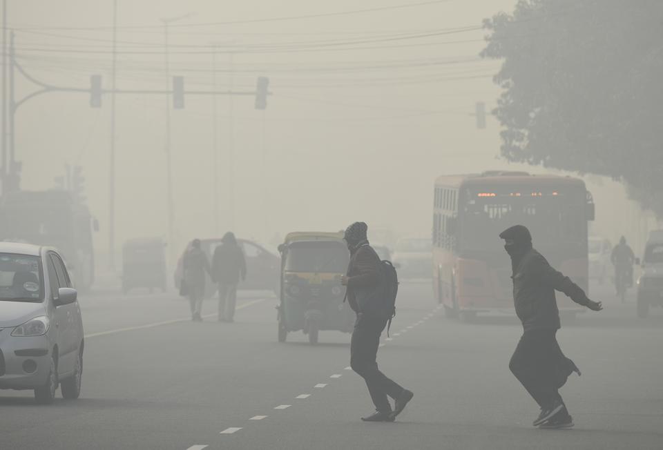
Together with lower-level easterlies from the Bay of Bengal, the western disturbance is also likely to bring scattered to fairly widespread rainfall and thunderstorm/hailstorm at some places in Jammu & Kashmir, Ladakh, Himachal Pradesh, Punjab, Haryana, Chandigarh, Delhi, Rajasthan, West Uttar Pradesh, and Madhya Pradesh during January 3 to 5. The maximum intensity is likely on January 3 and 4.
Due to likely south-easterly winds over Northwest and Central India, minimum temperatures are likely to rise gradually by 3-5 degrees C in most parts of Northwest and Central India during the next 4-5 days.
Cold wave to severe cold wave conditions in some pockets are likely over Uttar Pradesh during the next 48 hours and North Rajasthan during the next 24 hours and with less intensity over Punjab, Haryana, Chandigarh, Delhi during the same period.
Cold day conditions are likely in isolated pockets of Punjab, Haryana, Chandigarh, Delhi, and Uttar Pradesh during the next 24 hours. Dense to very dense fog is likely in North Uttar Pradesh during the next 48 hours and Punjab, Haryana, Chandigarh, Delhi during the next 24 hours
According to IMD, a cold day or severe cold day is considered based on two parameters—a minimum temperature of under 10 degrees and a maximum temperature is 4.5 degrees C or 6.4 degrees C below normal. A cold wave occurs in plains when the minimum temperature is 10 degrees C or below and/or is 4.5 notches lesser than the season’s normal for two consecutive days. A cold wave is also declared when the minimum temperature is less than 4 degrees C in the plains.
Many parts of northwest India recorded extremely low minimum temperatures on January 1 with Delhi recording 1.1 degrees C, 5.8 degrees below normal.


