
 E-Paper



Rain, thunderstorm likely over western Himalayas till Friday
A Western Disturbance as a cyclonic circulation is lying over Jammu and Kashmir and neighbourhood. Another Western Disturbance is lying as a trough (area of low pressure). The induced cyclonic circulation is lying over Punjab and neighbourhood


There is likely to be widespread rain and thunderstorms over the western Himalayan region till Friday, according to India Meteorological Department (IMD).
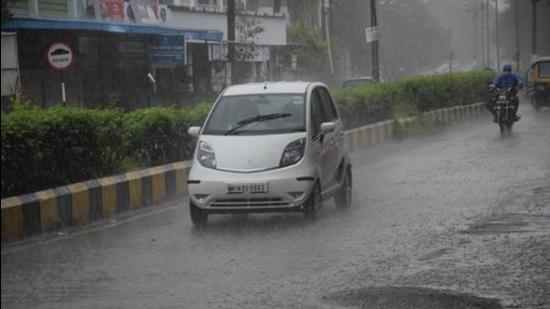
A Western Disturbance as a cyclonic circulation is lying over Jammu and Kashmir and neighbourhood. Another Western Disturbance is lying as a trough (area of low pressure). The induced cyclonic circulation is lying over Punjab and neighbourhood.
Also Read | Monsoon 2021: The good and bad news
Due to these systems, scattered to widespread rainfall, snowfall or thunderstorm is likely over western Himalayan region during April 21 to 23. Scattered rainfall or thunderstorm is also likely over adjoining plains of northwest India during the same period. Heavy rainfall is very likely over Jammu, Kashmir, Ladakh, Gilgit-Baltistan and Muzaffarabad, Himachal Pradesh and Uttarakhand.
A north-south trough (area of low pressure) is running from North Interior Karnataka to south Tamil Nadu and a cyclonic circulation is lying over south Tamil Nadu and neighbourhood in lower tropospheric levels. Under its influence, widespread rainfall/thunderstorm is likely over South Peninsular India during next 4-5 days.


